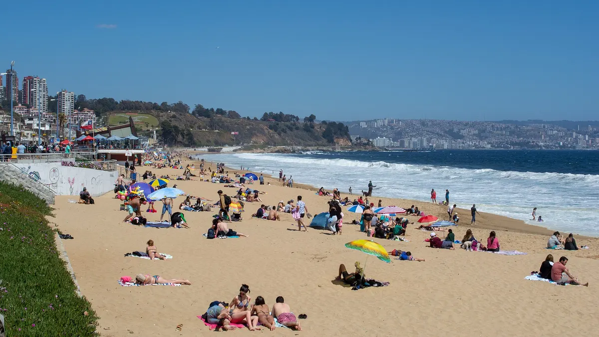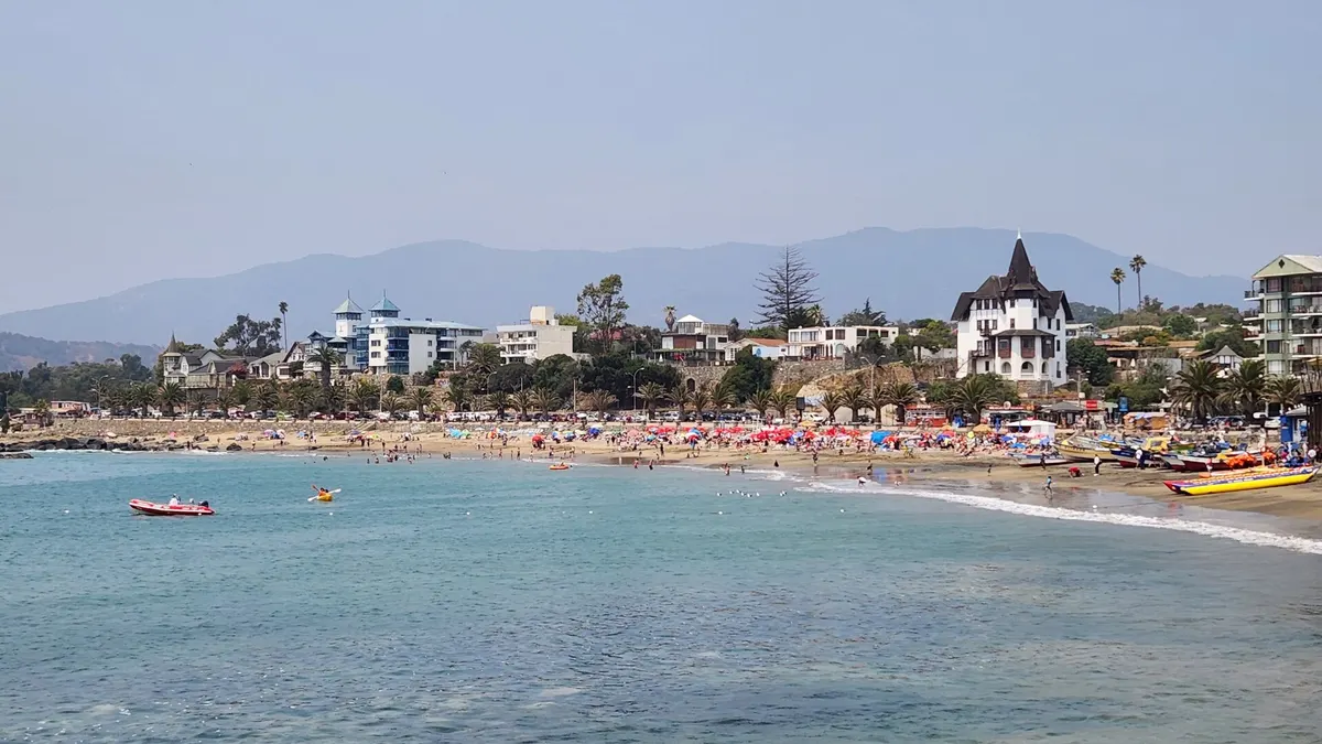
Maitencillo is a beach town in the Puchuncaví district of the Valparaíso Region, about 130 km from Santiago airport (1 hour 40 minutes by car) and 50 km from Viña del Mar. It is known for its long beach split into sectors, for surfing and above all for paragliding: tandem flights take off over the sea from Cerro La Cruz, according to Chile Travel, Chile's official tourism site. In summer it fills with families from Santiago and Argentine visitors, especially from Mendoza.
This guide covers Maitencillo's beaches, things to do, how to get there and when to go, with information checked on November 5, 2026. Prices and opening hours change from season to season: confirm them before you travel.
The beaches of Maitencillo
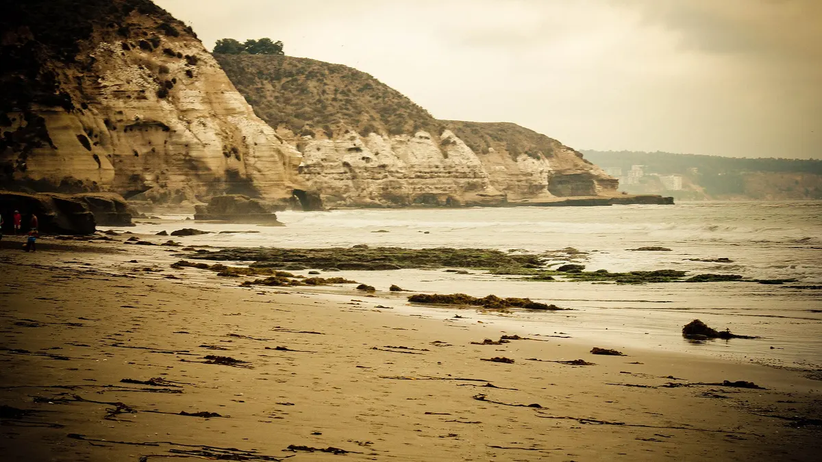
Maitencillo's coastline is a string of beaches and coves separated by rocks. The long central beach is divided into named sectors such as Los Pinos, Las Conchitas, Chungungo and Los Pocitos, according to MinutoUno. These are the ones visitors look for most:
| Beach or sector | What it's like | Best for |
|---|---|---|
| Aguas Blancas (south) | Wilder, with strong waves and stair access | Walking and sunsets; not for swimming |
| Playa Grande and El Abanico | Wide sand and steady surf | Surfing and bodyboarding |
| Playa Chica and Los Pocitos | Calmer water between rocks | Families with children, always in designated areas |
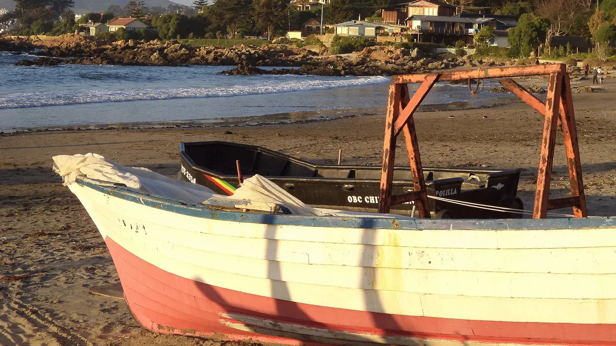
| The fishing cove (caleta) | Fishing boats and fresh fish and seafood for sale | Lunch and buying seafood |
| Playa Blanca | Light-sand beach recommended for the afternoon | Relaxing and sunset |
Sources: Sitio Andino, MinutoUno and Chile Travel. On the Valparaíso coast the sea is cold even in January and currents are strong: swim only at beaches with lifeguards and follow the flags. On October 31, 2026 a fisherman died after being swept away by waves on the rocks of Zapallar, about 10 km north, and the town asked people to avoid those areas, Teletrece reported.
| Playa El Abanico | Beach | 0.7 |
| Caleta de Maitencillo | Fishing cove | 0.9 |
| Marbella | Neighborhood | 2.2 |
| Playa Aguas Blancas | Beach | 3.3 |
| Playa de Cachagua | Beach | 5.5 |
| Isla Cachagua (penguins) | Protected area | 6.8 |
| Playa Las Cujas | Beach | 7.6 |
| Playa de Zapallar | Beach | 10.7 |
Things to do in Maitencillo
- Go paragliding. Schools on the southern hill offer beginner courses, pilot training and tandem flights with certified instructors. Flights depend on the wind: book ahead in high season and check conditions on the day (Chile Travel).
- Surf and bodyboard at Playa Grande and El Abanico, where schools and board rentals usually operate in summer. If you're a beginner, go in the morning, when there's less wind. Our guide to the best surf beaches in Chile compares Maitencillo with Pichilemu and the north.
- Eat at the fishing cove. Fishermen sell their morning catch, and nearby restaurants serve fish, seafood and empanadas.
- Stroll the seafront at sunset: it's where the town's bars, cafés and nightlife are.
- See Humboldt penguins in Cachagua, about 7 km north. The Isla Cachagua Natural Monument, 4.5 hectares and managed by Conaf (Chile's forest and parks agency), is viewed from the shore; landing is not allowed. More in our guide to Zapallar and Cachagua.
- Hike La Campana National Park, an hour and a half by car: the trail to the Darwin plaque takes 2 to 3 hours round trip (Chile Travel). See our guide to La Campana's trails.
How to get to Maitencillo
| From | Distance | Approximate time | Route |
|---|---|---|---|
| Santiago airport (SCL) | 130 km | 1 h 40 by car | Route 5 North, then F-30-E |
| Santiago (downtown) | About 150 km | About 2 hours | Route 5 North to Nogales and F-20 via Puchuncaví, or Route 68 and the coast |
| Viña del Mar | 50 km | About 1 hour | Route F-30-E via Concón and Quintero |
Sources: Chile Travel and Meganoticias. The distance from downtown Santiago is a Viajando Chile estimate. Without a car, take a bus from Santiago to Viña del Mar or Valparaíso and then an intercity bus north along the coast. Cabins and apartments are available throughout the town. To get around the rest of the country, our guide to transport in Chile explains buses, flights and trains.
Maitencillo weather and when to go
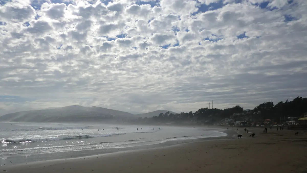
The central coast has a mild, steady climate. There is no Chilean Meteorological Office (DMC) station in Maitencillo, but the two nearest give a good idea: at Rodelillo (Valparaíso) the average temperature was 16.9 °C in January and 10.5 °C in July between 2016 and 2025, according to DMC data (average calculated by Viajando Chile). On the beach, mornings often start with low clouds that clear by midday, and a southwesterly wind picks up in the afternoon.
View the data as a table
| Valparaíso (Rodelillo) | Zapallar (Catapilco) | |
|---|---|---|
| Jan | 16.9 °C | 17.4 °C |
| Feb | 16.6 °C | 17.5 °C |
| Mar | 15.8 °C | 15.9 °C |
| Apr | 14.1 °C | 13.4 °C |
| May | 12.7 °C | 11.5 °C |
| Jun | 11.1 °C | 9.5 °C |
| Jul | 10.5 °C | 9.2 °C |
| Aug | 10.9 °C | 10.2 °C |
| Sep | 11.7 °C | 11.1 °C |
| Oct | 12.9 °C | 12.5 °C |
| Nov | 14.9 °C | 14.6 °C |
| Dec | 16.1 °C | 16.2 °C |
| Season | What Maitencillo is like |
|---|---|
| December to February | High season: more services, surf and paragliding schools open, beaches packed on weekends |
| March and April | Water still mild, fewer people and lower prices |
| May to August | Cool, rainy winter; a good time for walks and eating at the cove |
| September to November | Windy, sunny spring; Chile Travel recommends spring and summer for paragliding |
Bring layers, a windbreaker for the flight and sunscreen: the summer sun burns even when it's cloudy. If you travel in January or February, check the Senapred heat alert, in force until March 2027, and the remaining public holidays, when the town gets crowded. To combine with other stops on the coast, see things to do in Viña del Mar and our one-day guide to Valparaíso.
Frequently asked questions
Where is Maitencillo?
In the Puchuncaví district of the Valparaíso Region, between Quintero to the south and Cachagua and Zapallar to the north. It is about 130 km from Santiago airport and 50 km from Viña del Mar.
Can you swim at Maitencillo's beaches?
Yes, in the calmer sectors such as Playa Chica, and only where there are lifeguards and a green flag. Aguas Blancas and the open beaches have strong surf. The water is cold all year.
How long is a paragliding flight in Maitencillo?
It depends on the school and the wind; Chile Travel doesn't publish durations or prices, so ask directly. Take-off is from Cerro La Cruz, a few meters from the shore.
How do you get to Maitencillo without a car?
By bus from Santiago to Viña del Mar or Valparaíso, then an intercity bus north along the coast. There are regular buses between Viña del Mar and Maitencillo.