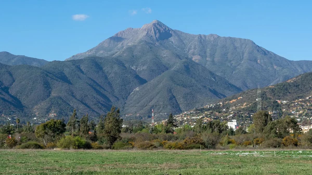
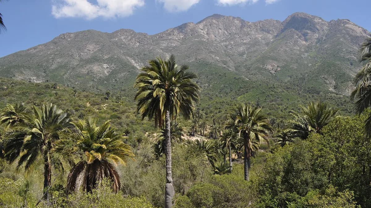
La Campana National Park protects 8,000 hectares of the Coastal Range in Chile's Valparaíso Region, between the districts of Olmué and Hijuelas, and its Palmas de Ocoa sector holds one of the country's largest natural groves of Chilean wine palm. It was created on 17 October 1967 by Law 16,699 and its elevations range from 400 to 2,222 metres, according to Conaf, Chile's national forest service. Its best-known peak, Cerro La Campana, is the one Charles Darwin climbed in August 1834 during the voyage of the Beagle.
It is the closest national park to Santiago and Viña del Mar for a day hike, and over the last long weekend in October accommodation near the park was 67.0% full, according to Sernatur's report on the 12 October holiday.
The three sectors of La Campana National Park
| Sector | What it has | Access |
|---|---|---|
| Granizo | Andinista trail to the summit of Cerro La Campana | Av. Granizo, bus stop 45, Olmué |
| Cajón Grande | Santiago oak (roble) forests and the Poza del Coipo pool | Av. Granizo, bus stop 40, Olmué |
| Palmas de Ocoa | Chilean palm grove and La Cortadera waterfall | Route 5 North, km 98, Hijuelas |
Source: Conaf, La Campana National Park fact sheet, checked on 23 October 2026. Each sector has its own entrance and they are not connected by road: you have to choose where to go in.
La Campana National Park trails
| Trail | Distance | Duration | Difficulty |
|---|---|---|---|
| Andinista (summit of Cerro La Campana) | 7 km | 8 h | Demanding |
| Portezuelo de Ocoa | 5.2 km | 6 h | Demanding |
| Los Robles | 5.3 km | 6 h | Demanding |
| Los Morteritos circuit | 12 km | 6 h | Demanding |
| El Amasijo | 7 km | 7 h | Demanding |
| Mina de Cuarzo | 9 km | 7 h | Demanding |
| Camino La Cascada (La Cortadera waterfall) | 6 km | 5 h | Demanding |
| Plateaux | 4.2 km | 4 h | Moderate |
| Los Peumos | 2.5 km | 3 h | Moderate |
| El Arenal–El Coipo circuit | 2 km | 1 h | Moderate |
| La Canasta | 1 km | 1 h | Moderate |
| Mina Nueva | 1 km | 1 h 30 min | Moderate |
Source: Conaf. The park has 16 trails; these are the 12 most used. Times are round trip according to the official fact sheet. The section of the Andinista trail between the mine and the summit is closed from June to August, and anyone entering the summit area in winter risks a fine of 1 to 5 UTM, under municipal ordinance 772 of 2014.
Do you have cabins, restaurants or tours in Olmué, Limache or Hijuelas? Reach travellers planning their visit to La Campana.
See advertising optionsClimbing Cerro La Campana
The climb to the summit starts in the Granizo sector and is the park's toughest trail: 7 kilometres with a big elevation gain, through sclerophyllous woodland, old mines and a final rocky section; along the route, a plaque commemorates Darwin's ascent. Conaf warns of extreme temperatures, snow, wind and rockfall. Start early, carry at least two litres of water per person and return before the entrance closes.
How to get to La Campana National Park
| From | Recommended sector | Route |
|---|---|---|
| Santiago | Palmas de Ocoa | Route 5 North to km 98 (Hijuelas) and the signposted turn-off |
| Santiago | Granizo or Cajón Grande | Route 5 North or the La Dormida pass to Olmué and Avenida Granizo |
| Viña del Mar and Valparaíso | Granizo or Cajón Grande | Route 62 to Limache and then Olmué |
| By public transport | Granizo or Cajón Grande | Buses to Olmué, getting off at stops 40 or 45 on Avenida Granizo |
Source: Conaf (access addresses). To combine the trip with the coast, see our guides to things to do in Viña del Mar and to the Lago Peñuelas National Reserve, which is part of the same biosphere reserve.
Park rules and services
- Day visits only: the campsite is closed; cold picnics are allowed.
- No fires: no barbecues, camping stoves or cigarettes, under Law 20,653.
- No pets or drones: drones require authorisation from Conaf.
- Tickets online: they are sold on Pases Parques; opening hours may change due to weather.
- Flora and fauna: Chilean palm, boldo, Santiago oak, culpeo and chilla foxes, degus and the giant hummingbird.
Frequently asked questions
Where is La Campana National Park?
In the Valparaíso Region, in the districts of Olmué (Granizo and Cajón Grande sectors) and Hijuelas (Palmas de Ocoa sector).
How long does the climb up Cerro La Campana take?
About 8 hours round trip on the 7 km Andinista trail, according to Conaf.
Can you camp in La Campana?
Not for now. The campsite is closed and only day visits are allowed.