Malalcahuello is a mountain village in the municipality of Curacautín, in Chile's La Araucanía Region, at 972 metres above sea level and at km 86 of Route 181. It is the gateway to the Malalcahuello National Reserve, Lonquimay volcano and the Corralco ski resort. Its name means "horse corral" in Mapudungun, according to Wikipedia.
This guide covers things to do in Malalcahuello in summer and winter, the trails currently open, the area's hot springs and how to get there, with data checked on 9 November 2026. Opening hours and prices change: check them before you travel.
View the data as a table
| metres above sea level | 972 |
| hectares of the National Reserve | 13,882 |
| metres, height of Lonquimay volcano | 2,865 |
| metres, length of the Las Raíces tunnel | 4,528 |
Malalcahuello National Reserve: trails, hours and admission
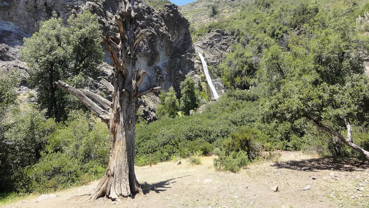
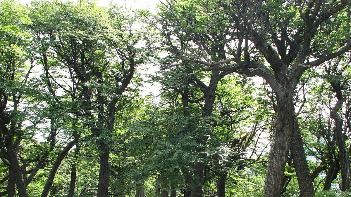
The reserve covers 13,882 hectares in the municipalities of Curacautín and Lonquimay. It was created on 31 March 1931 and is part of UNESCO's Araucarias Biosphere Reserve, established in 1983, according to the Conaf fact sheet. It protects monkey puzzle trees (araucarias), coigüe, roble, lenga and ñirre, and is home to pumas, kodkod cats, pudú deer and Magellanic woodpeckers. It is open Tuesday to Sunday from 8:30 to 18:00, with last entry at 14:00, and has no camping areas.
Important notice: since 12 August 2026 only the Araucaria Milenaria, Pehuenco and Piedra Santa trails (up to the first viewpoint) are open, Conaf reports. The table shows the full network for when the rest reopen.
| Laguna Pehuenco | 0.5 | 0.5 | Easy | Yes, since 12 Aug 2026 |
| Piedra Santa | 6.4 | 3.0 | Easy | Yes, up to the first viewpoint |
| El Coloradito | 6.5 | 3.0 | Moderate | Not listed |
| Travesía del Colorado | 3.5 | 2.0 | Moderate | Not listed |
| Sierra del Colorado | 2.2 | 2.0 | Demanding | Not listed |
| Cerro Cautín | 4.4 | 2.5 | Demanding | Not listed |
| Laguna Blanca | 15.5 | 6.0 | Hard | Not listed |
| Trail | Length | One way | Difficulty |
|---|---|---|---|
| Laguna Pehuenco | 541 m | 30 min | Easy |
| Piedra Santa | 6.4 km | 3 h | Easy |
| El Coloradito | 6.5 km | 3 h | Moderate |
| Travesía del Colorado | 3.5 km | 2 h | Moderate |
| Sierra del Colorado | 2.2 km | 2 h | Demanding |
| Cerro Cautín | 4.4 km | 2.5 h | Demanding |
| Laguna Blanca | 15.5 km | 6 h | Hard |
Source: Conaf, checked on 9 November 2026. The Conaf fact sheet does not publish the fee; according to En Cancha (May 2026), admission costs CLP 3,200 for adults and CLP 2,100 for ages 13 to 17, and children under 12 go free. Fires, pets and drones are banned in the reserve, and in summer there is a risk of lightning on the higher trails.
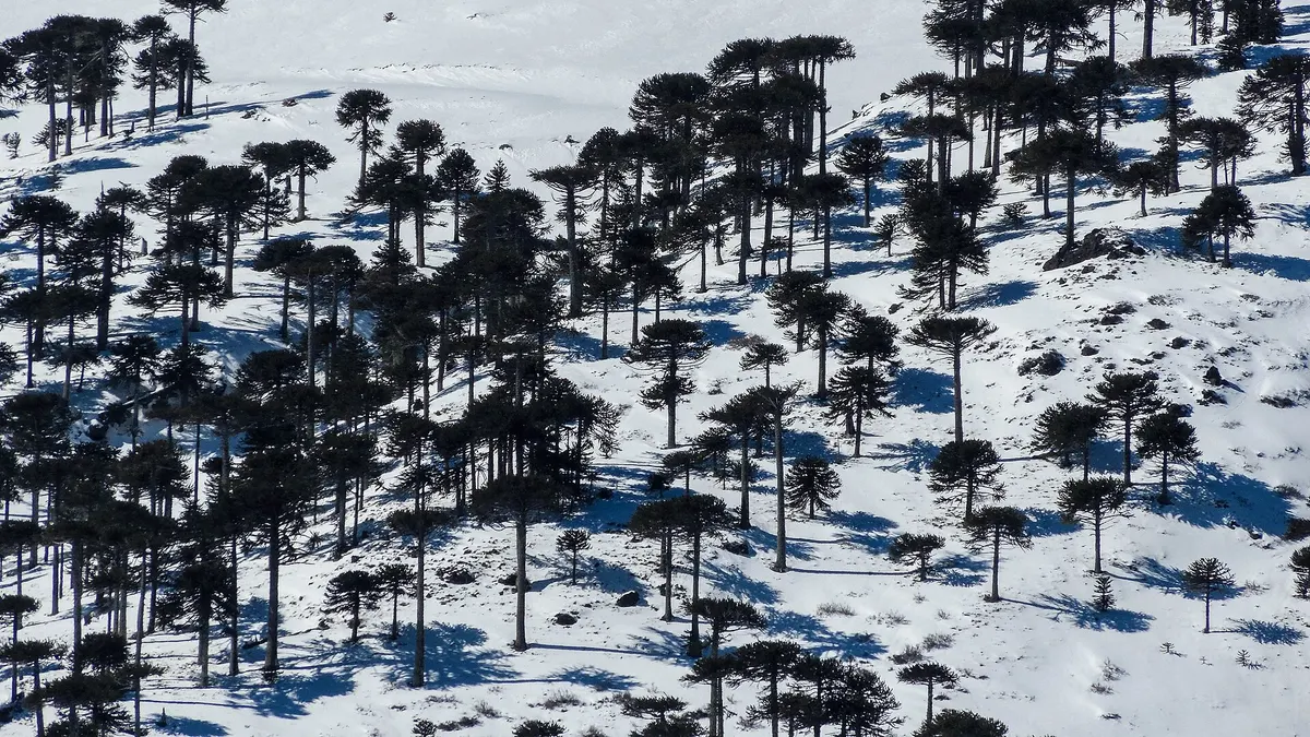
Lonquimay volcano and Navidad crater
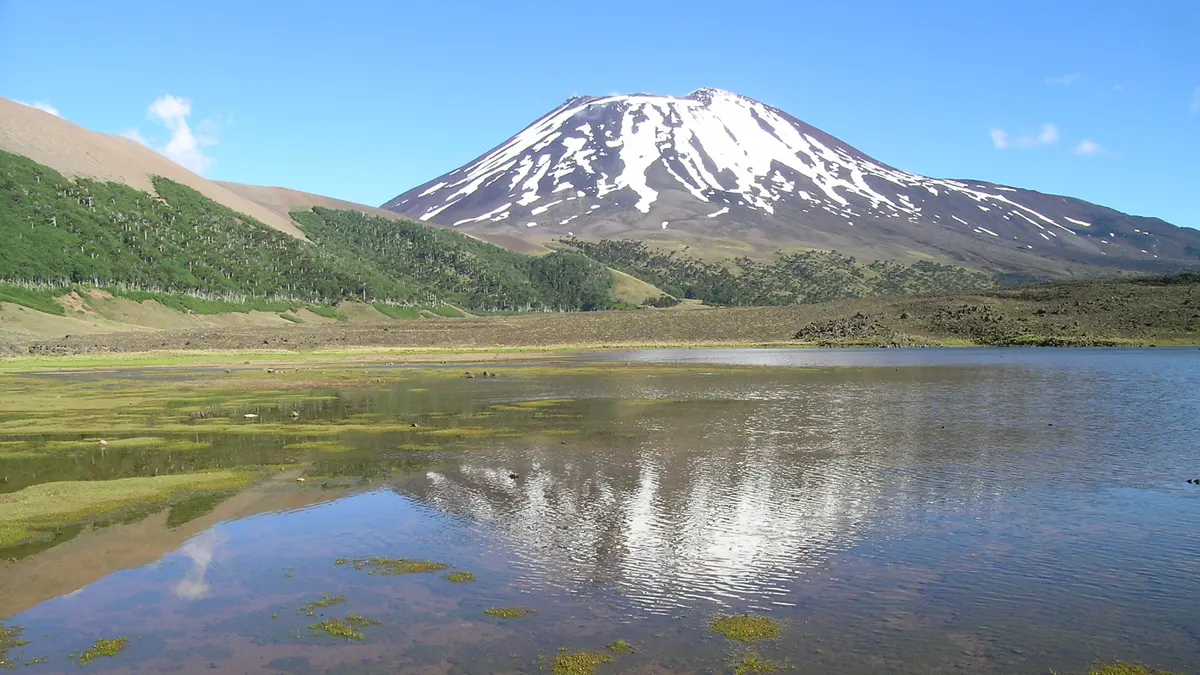
Lonquimay is an active 2,865-metre stratovolcano monitored from Temuco, with recorded eruptions in 1887, 1933 and on 25 December 1988, when the Navidad (Christmas) crater formed (Wikipedia). That cone, 190 metres high from its base, can be visited on guided excursions of about 3 hours covering 4 km, between 1,725 and 1,840 metres above sea level, according to malalcahuellochile.cl. For its activity level, see our ranking of Chile's most active volcanoes.
- 1887First recorded eruptionOf Lonquimay volcano; the next one was in 1933.
- 1930-1940Las Raíces tunnelTen years of work for the railway meant to link Chile and Argentina.
- 1931The reserve is createdSupreme Decree 1670 of 31 March.
- 1983Biosphere ReserveIt becomes part of UNESCO's Araucarias Biosphere Reserve.
- 1988Navidad crater is bornEruption that began on 25 December.
- 2026Trails restrictedSince 12 August only Araucaria Milenaria, Pehuenco and Piedra Santa up to the first viewpoint are open.
Things to do in Malalcahuello in summer and winter
| Season | Activity | Details |
|---|---|---|
| Winter | Skiing and snowboarding at Corralco | About 500 ha of skiable terrain and 29 runs on the south-east slope of Lonquimay |
| Winter | Snowshoeing in the reserve | Trails such as El Coloradito and Piedra Santa have snowshoe difficulty ratings |
| All year | Hot springs | Indoor pools with hydromassage and natural pools in the area |
| Summer | Cycle path on the old railway line | 31 km in two sections: Malalcahuello-Manzanar and Las Raíces tunnel-Lonquimay |
| Summer | Navidad crater | Guided excursion of about 3 hours |
| Summer | Kayaking or rafting on the Cautín river, horse riding and trail running | Offered by local operators |
Sources: Wikipedia (Corralco), Conaf (snowshoeing), malalcahuellochile.cl (hot springs), malalcahuellochile.cl (cycle path) and El Mostrador (Cautín river, horse riding and trail running). The village website lists among nearby hot springs a thermal hotel with 36 rooms and an outdoor pool, Termas Malleco (formerly Tolhuaca) and the natural pools of Coyuco; compare other options in our guide to hot springs in Chile. For skiing, see the Corralco guide.
The cycle path follows the line that linked Victoria and Lonquimay from 1940 and passes near the Las Raíces tunnel, 4,528 metres long, built between 1930 and 1940 and now the longest road tunnel in Chile, with one-way traffic (Wikipedia). In summer days are around 20 °C and nights are freezing, warns malalcahuellochile.cl.
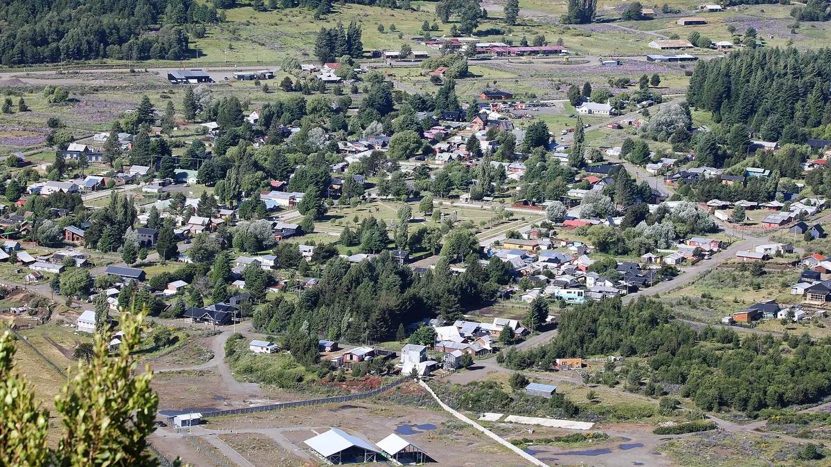
How to get to Malalcahuello from Santiago and Temuco
| From | How | Details |
|---|---|---|
| Santiago | Turbus overnight bus to Lonquimay (get off at Malalcahuello) | Departures 22:10 and 22:55; from CLP 25,900 semi-cama and CLP 34,900 to 37,900 salón cama |
| Temuco | Turbus bus | From CLP 8,000; four afternoon departures, 2 to 3 hours |
| Santiago | Car | About 700 km on Route 5 South to Victoria, then Route 181, fully paved |
| Argentina | Pino Hachado pass | 70 km along Route 181, through the Las Raíces tunnel |
Sources: Kupos for the Santiago-Lonquimay and Temuco-Malalcahuello buses, checked on 9 November 2026, and malalcahuellochile.cl (distances and route). The village has no ATM or petrol station: the nearest are in Curacautín (32 km) and Lonquimay (35 km). Route 181 sometimes freezes in winter, so drive carefully and carry chains; if you rent a car, check the car rental requirements for foreigners in Chile. Conguillío National Park is close by, and Temuco is the nearest city with an airport.
Frequently asked questions
Where is Malalcahuello?
In the municipality of Curacautín, La Araucanía Region, at km 86 of Route 181, about 115 km from Temuco and 700 km from Santiago.
Which trails are open in Malalcahuello National Reserve?
Since 12 August 2026, according to Conaf, only Araucaria Milenaria, Pehuenco and Piedra Santa up to the first viewpoint. The reserve opens Tuesday to Sunday, with last entry at 14:00.
What can you do in Malalcahuello in summer?
Hike in the reserve, ride the cycle path on the old railway line, climb Navidad crater with a guide, soak in hot springs and go kayaking or rafting on the Cautín river.
How far is Corralco from Malalcahuello?
Corralco lies within the same reserve, on the south-east slope of Lonquimay volcano; from the village you drive up the road that links Malalcahuello with the mountain resort.