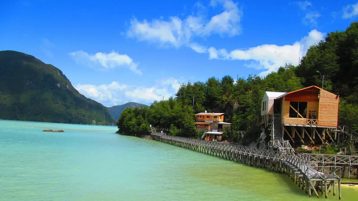
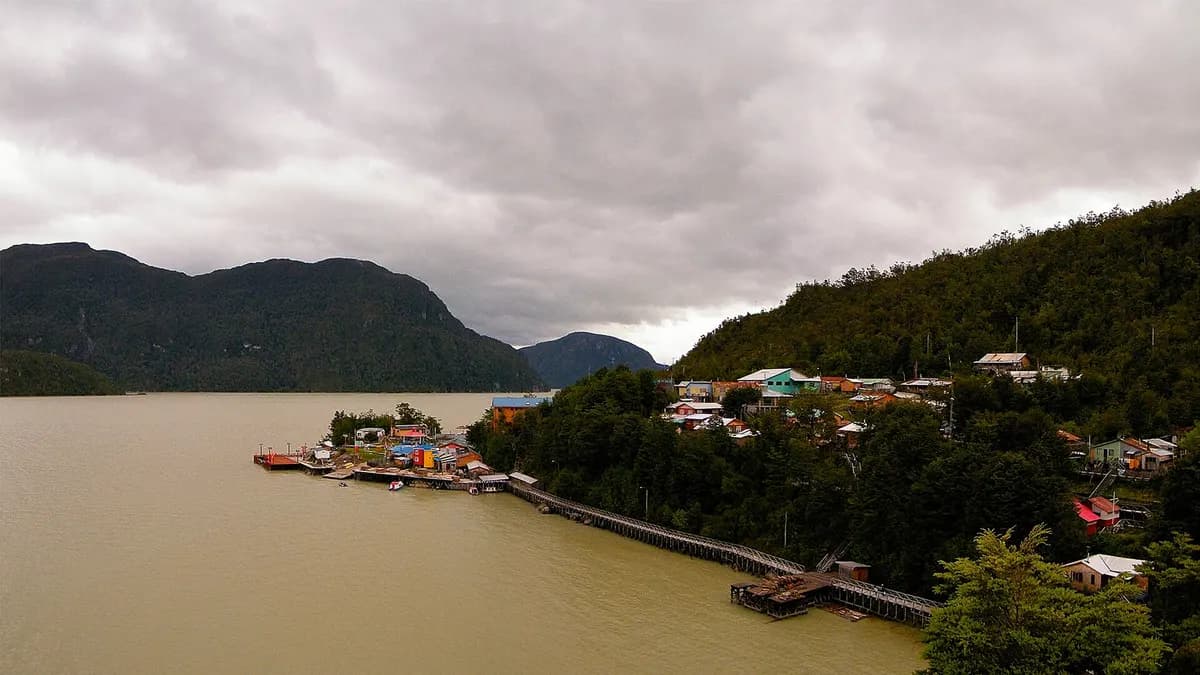
Caleta Tortel is a village without streets: its houses are linked by some seven kilometers of Guaitecas cypress boardwalks that line the mouth of the Baker River, in Chile's Aysén Region. From Coyhaique it is about 575 kilometers along the Carretera Austral, roughly 10 hours with long gravel stretches, according to Chile Travel, Sernatur's tourism promotion website.
Its value is protected: the village has been a Typical Zone since Decree 282 of the Ministry of Education, dated May 23, 2001, according to the intervention rules of the National Monuments Council, which describes a settlement of houses built on the rocks and joined by a network of cypress boardwalks.
| Item | Detail |
|---|---|
| Region | Aysén del General Carlos Ibáñez del Campo |
| Location | Mouth of the Baker River, south of Cochrane |
| Boardwalks | About 7 km of Guaitecas cypress wood |
| Protection | Typical Zone (Decree 282 of 2001, Ministry of Education) |
| Access | Route X-904, from the Carretera Austral |
| Cars | No cars inside the village |
Sources: Chile Travel (Sernatur) and the National Monuments Council.
How to get to Caleta Tortel
| From | Approximate distance | Approximate time | Source |
|---|---|---|---|
| Coyhaique | 575 km | 10 hours | Chile Travel (Sernatur) |
| Cochrane | 125 to 128 km | 3 to 3.5 hours | Travel guides and operators |
| Balmaceda (airport) | Entire trip overland on Route 7 | Similar to Coyhaique | Chile Travel (Sernatur) |
The final access is via route X-904, which branches off the Carretera Austral. Distances from Cochrane vary by source, so treat them as a guide. To plan your trip, see our Carretera Austral road trip guide and Sernatur's planner with the roadworks on the route.
- By car: the most flexible option. Fill up in Cochrane and carry a spare tire: there are few services along the way.
- By bus: there are buses between Cochrane and Tortel on some days of the week; check schedules in advance, as they change with the season.
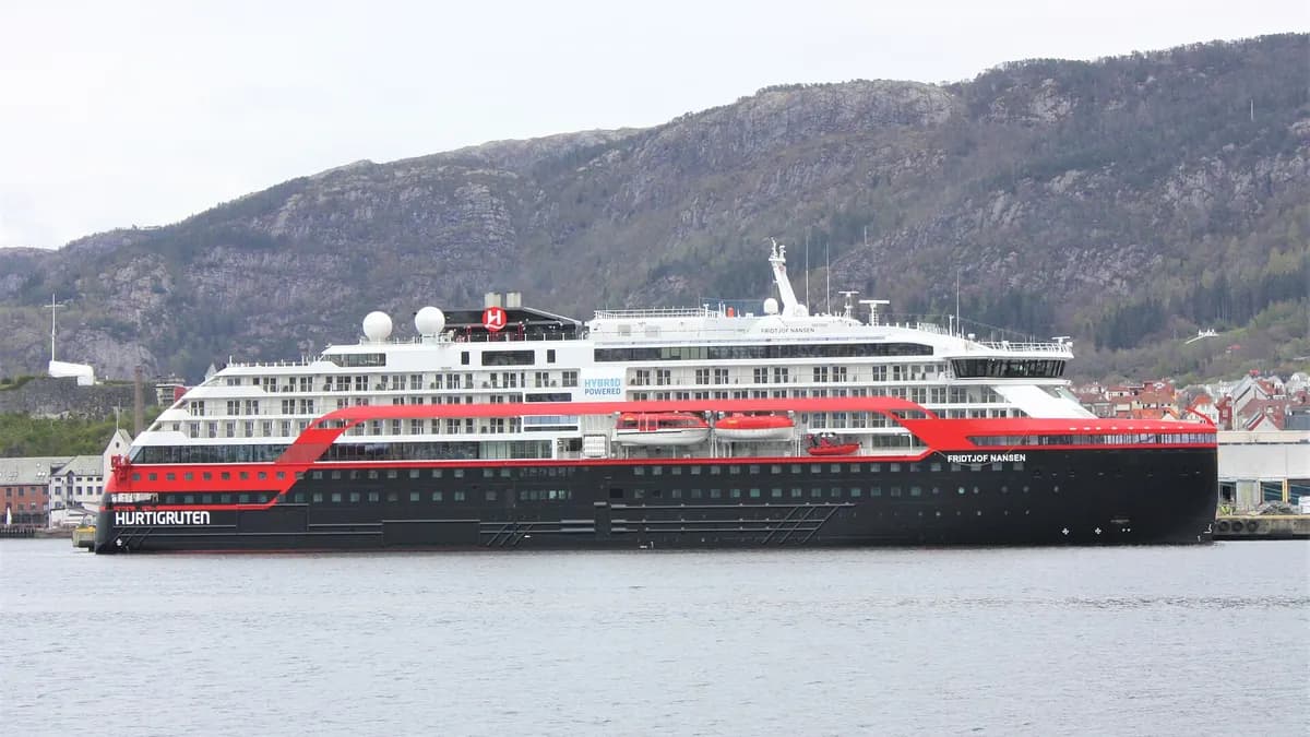
- By cruise ship: some expedition cruises stop at Tortel, such as the MS Fridtjof Nansen on its October 2026 itinerary, which also called at Puerto Natales.
Things to do in Caleta Tortel
- Walk the boardwalks: the main activity. You move from one part of the village to another on wooden stairs, viewpoints and squares; allow several hours to explore at a relaxed pace.
- Isla de los Muertos: a cemetery on a nearby island, protected as a National Monument along with the village, reached by boat with local operators.
- Glacier trips: local operators offer boat trips toward the glaciers flowing down from the Patagonian Ice Fields, depending on weather and availability. Ask about duration and price in the village.
- Watch the Baker River: Chile's largest river by volume flows into the sea here; its turquoise and glacial gray waters change with the light.
- Eat fish and seafood at the village's small eateries.
For more on Isla de los Muertos and the history of the heritage declaration, see the article in the University of Chile's Revista de Urbanismo.
Do you have lodging or tours on the Carretera Austral? Reach travelers planning Aysén, in four languages.
See advertising options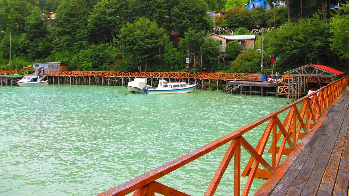
When to visit Caleta Tortel and what to pack
| Period | What to expect |
|---|---|
| December to March | Long days and milder temperatures. High season on the Carretera Austral |
| October, November and April | Fewer travelers; more changeable weather |
| May to September | Cold, rain and snow on some stretches of the road; fewer services open |
It rains much of the year, so bring waterproof clothing and non-slip shoes: wet boardwalk wood is slippery. There are no cars inside the village; you leave your vehicle in the parking area at the entrance and carry your bags down the stairs.
Part of a route through southern Aysén
Tortel fits into a trip down the southern Carretera Austral: from Coyhaique, past Lake General Carrera and the Marble Caves, on to Cochrane and Tortel. If you are after glaciers, compare it with Laguna San Rafael.
Frequently asked questions
Where is Caleta Tortel?
In the Aysén Region, at the mouth of the Baker River, south of Cochrane and about 575 km from Coyhaique along the Carretera Austral.
How many kilometers of boardwalks does Tortel have?
About seven kilometers, made of Guaitecas cypress, according to Chile Travel (Sernatur). Other sources say more than eight kilometers when stairs and bridges are included.
Can you drive into Caleta Tortel?
You can drive to the village entrance, but there are no streets inside: everything is explored on foot along the boardwalks.