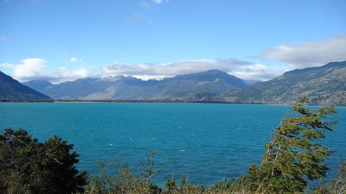
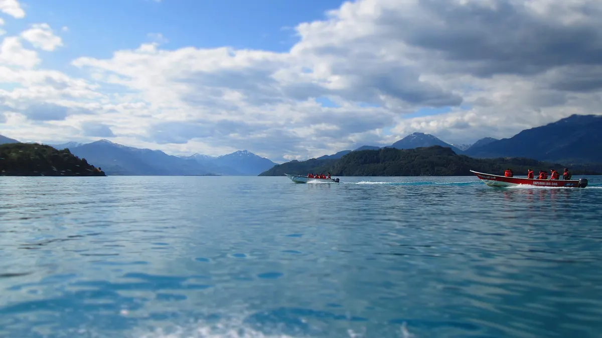
Lake General Carrera, in Chile's Aysén Region, is the largest lake in Chile: it covers 951.2 km² in Chilean territory and about 1,840 km² in total, because it is shared with Argentina, where it is called Lake Buenos Aires, according to the lake inventory of the General Water Directorate (DGA). It is explored via the Carretera Austral, which runs along its western shore, and its main towns are Puerto Río Tranquilo, Puerto Guadal, Puerto Ingeniero Ibáñez and Chile Chico. On its shore are the Marble Caves (Capillas de Mármol), one of the most photographed landscapes in Patagonia.
Its turquoise color comes from the meltwater of the glaciers that feed it. It is the second-largest lake in South America after Titicaca, as we explain in the largest lakes in Chile.
Lake General Carrera in figures
| Fact | Lake General Carrera |
|---|---|
| Region | Aysén (General Carrera province) |
| Area in Chile | 951.2 km² (the largest in the country) |
| Total area | About 1,840 km², shared with Argentina (Lake Buenos Aires) |
| Towns on its shore | Puerto Río Tranquilo, Puerto Guadal, Mallín Grande, Puerto Ingeniero Ibáñez, Chile Chico |
| Distance from Coyhaique to Puerto Río Tranquilo | About 223 km via the Carretera Austral |
| Best-known attraction | Marble Caves, opposite Puerto Río Tranquilo |
Sources: DGA, lake inventory (Lakes layer of SIMBIO, Ministry of the Environment); distances from our guide to the Marble Caves.
How to get to Lake General Carrera
- Via the Carretera Austral from Coyhaique: heading south, past Villa Cerro Castillo, you reach Puerto Río Tranquilo, about 223 km away. It is the most used route and lets you continue to Puerto Guadal and Cochrane.
- By ferry across the lake: from Puerto Ingeniero Ibáñez, on the north shore, a ferry crosses to Chile Chico. It is a state-subsidized transport service; schedules change with the season and it is advisable to book, especially with a car.
- From Argentina: Chile Chico faces Los Antiguos, in Santa Cruz province, and you cross at the Río Jeinimeni pass.
- By plane: the nearest airport with scheduled flights is Balmaceda, near Coyhaique. Chile Chico has an airfield.
Travel times are approximate and depend on gravel roads and the weather. Before setting out, check roadworks on the Sernatur platform we explain in the Carretera Austral: Plan your trip platform.
Things to do at Lake General Carrera, town by town
| Town | What to do | Good to know |
|---|---|---|
| Puerto Río Tranquilo | Boat or kayak trip to the Marble Caves; starting point for the Exploradores valley and Laguna San Rafael | Departures depend on the wind |
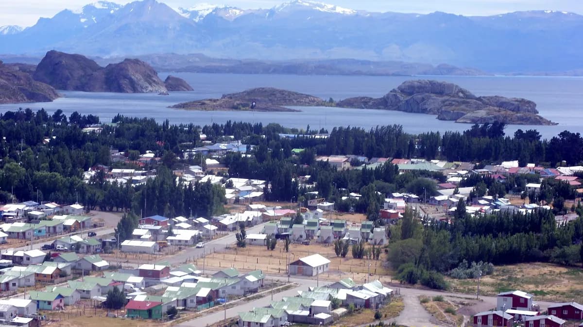
| Puerto Guadal | Pebble beaches, lake viewpoints and a base to continue toward Cochrane | Small town with basic services |
| Puerto Ingeniero Ibáñez | Ferry departures to Chile Chico; close to the Cerro Castillo reserve and park | Check the ferry schedule |
| Chile Chico | Known for a drier, sunnier climate than the rest of Aysén; access to the Jeinimeni sector of Patagonia National Park | Border with Argentina via Los Antiguos |
For the Marble Caves, with boat and kayak prices, see our Marble Caves guide. For Laguna San Rafael, our guide to Laguna San Rafael. Also near the lake is Cerro Castillo National Park.
Do you run lodging, a tour or a restaurant at Lake General Carrera? Reach the travelers planning the Carretera Austral.
See advertising optionsPatagonia National Park, next to Lake General Carrera
From Chile Chico you reach the Jeinimeni sector of Patagonia National Park, created in 2018 with 304,527 hectares from the former Lago Jeinimeni and Lago Cochrane reserves and the Chacabuco valley, donated by Tompkins Conservation, according to Conaf. Access to Jeinimeni is via route X-753, about 65 km from Chile Chico. In 2025 the park received 26,223 visits, according to Conaf's visitor spreadsheet.
| Trail (Jeinimeni sector) | Length | Duration | Difficulty |
|---|---|---|---|
| Mirador del Lago Jeinimeni | 2 km | 1 h | Easy |
| Escorial El Silencio | 2.6 km | 1 h | Easy |
| Laguna Esmeralda | 5.8 km | 3 h | Easy |
| Costanera Lago Jeinimeni | 11.4 km | 3 h | Easy |
| Valle Avilés | 14.5 km | 3 to 4 days | Moderate |
Source: Conaf. In October 2026, the Jeinimeni sector is open for day visits only, and the Cueva de las Manos and the El Silencio campsite remain closed until the weather allows. Fees are listed on Pases Parques.
When to visit Lake General Carrera
The best time is from December to March, with long days and more services open. In spring (October and November) there are fewer people, but several campsites and trails open gradually, as Conaf indicates for Patagonia National Park. Wind is frequent all year and can cancel boat trips; leave a spare day in your itinerary.
Frequently asked questions
Where is Lake General Carrera?
In the Aysén Region, in Chilean Patagonia, on the border with Argentina, where it is called Lake Buenos Aires.
What is the largest lake in Chile?
Lake General Carrera, with 951.2 km² in Chilean territory, according to the General Water Directorate.
How do you cross Lake General Carrera?
On the ferry between Puerto Ingeniero Ibáñez and Chile Chico, or by driving around it via the Carretera Austral.