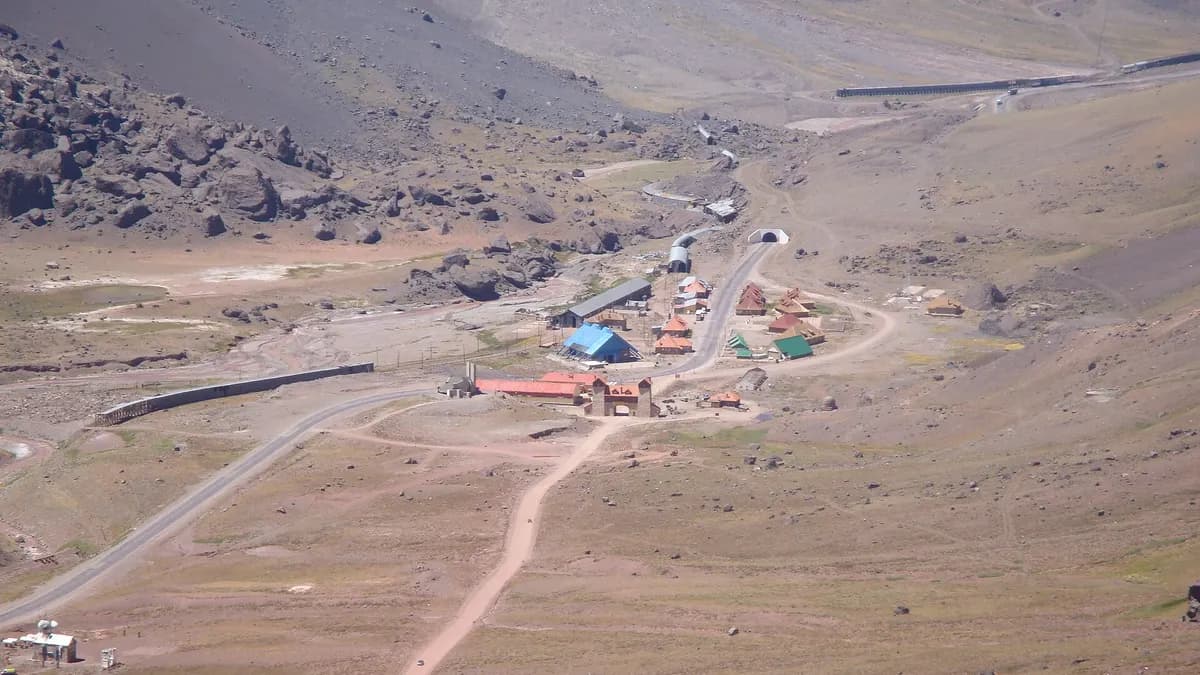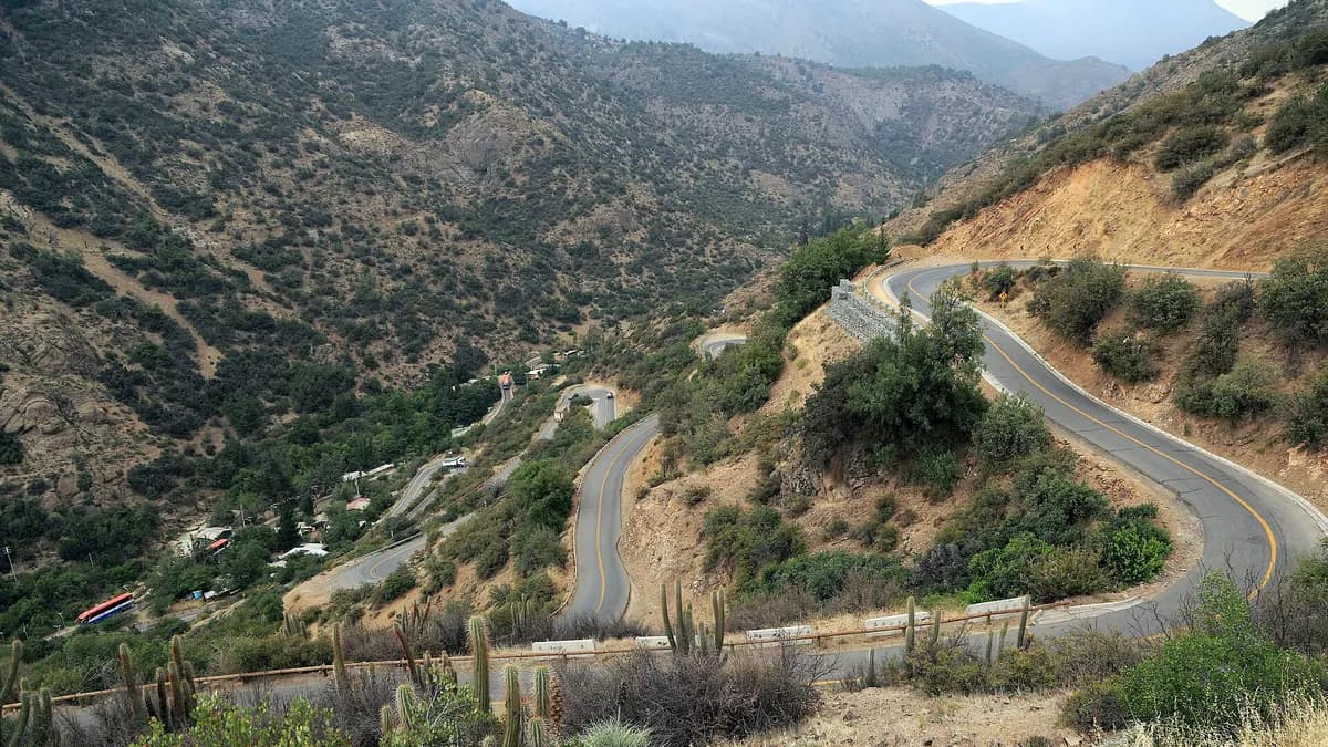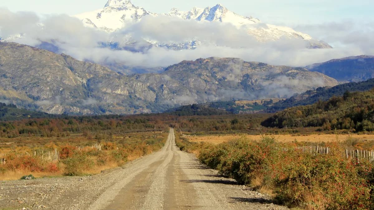
Anyone driving the Carretera Austral this summer will have an official tool to see where roadworks are and how long it takes to get from one town to the next. In Coyhaique, Chile's national tourism service, Sernatur, presented version 2.0 of "Planifica tu Viaje por la Carretera Austral" (Plan your Trip on the Carretera Austral), a platform with a map of scheduled works by travel date and a planner covering 22 points along the corridor and 462 route combinations, as reported by G5 Noticias on October 16.
The platform is at aysenpatagonia.cl, works in Spanish, English and Portuguese, is mobile-friendly and lets you consult downloaded information offline, which is key on a road with long stretches without signal.
What the Carretera Austral platform shows
| Feature | What it does | Why it helps |
|---|---|---|
| Interactive map | Shows scheduled works by trip date and tourist attractions | Know if there will be works on your route the day you pass |
| Trip planner | Choose origin, destination, date and time; estimates travel time including roadwork waits | Plan realistic driving days |
| Coverage | 22 points along the corridor and 462 trip combinations | Plan stretch by stretch |
| Overview | Route from the regional border to Villa O'Higgins, with towns and connections | See the whole trip at a glance |
| Offline mode | Access to previously downloaded information | Use it where there is no signal |
| Languages | Spanish, English and Portuguese | Foreign travellers |
The tool also gives recommendations to avoid traffic suspensions. Sernatur runs it with roadworks information supplied by the Ministry of Public Works, and it was developed by Sernatur Aysén, the MOP's Route 7 Plan team and Aysén's regional science office, with funding from the Regional Government.
Does your cabin, campsite or tour in Aysén want to reach people planning the Carretera Austral?
See advertising optionsWhy there will be roadworks on the Carretera Austral this summer
The platform responds to the Ruta Austral Plan: Sovereignty that Connects, which includes 23 projects and 244 kilometres of works on Route 7. According to the MOP, the plan involves an investment of nearly CLP 800 billion between 2026 and 2030, with the aim of advancing the paving of the road between Puerto Montt and Cochrane.
| Item | Figure | Source |
|---|---|---|
| Projects in the plan | 23 | Sernatur / G5 Noticias |
| Kilometres of works | 244 km | Sernatur / G5 Noticias |
| Investment 2026-2030 | Nearly CLP 800 billion | MOP |
| Planner points | 22 | Sernatur |
| Trip combinations | 462 | Sernatur |
| Tourism's share of Aysén's GDP | 4.5% | Undersecretary of Tourism María Paz Lagos |
Roadworks mean waits: on sections under construction, traffic usually moves in alternating turns or with scheduled closures. That is why the planner includes those times in its estimate. "Planifica tu Viaje is a very concrete and positive tool for a well-informed high season," Undersecretary of Tourism María Paz Lagos said at the launch.
How to use it before driving the Carretera Austral
- Download it on wifi: before leaving Puerto Montt, Coyhaique or Chaitén, save the information to use without signal.
- Plan by date: works change; check the exact day for each stretch, not just the general route.
- Add margin to each day: besides roadwork waits, there are ferries with fixed schedules on the northern stretch.
- Combine it with our guide: the Carretera Austral road trip guide explains distances, fuel and how many days to take.
- Recommended stops: things to do in Coyhaique and Cerro Castillo National Reserve are two of the most searched.
Stops along the Carretera Austral in Aysén
The platform's overview runs from the region's northern border to Villa O'Higgins, the end of Route 7. These are some of the towns along the corridor and what to know about each one to plan your driving days.
| Town | Why stop | Keep in mind |
|---|---|---|
| Puyuhuapi | Queulat National Park and the Hanging Glacier | Winding stretch through rainforest |
| Coyhaique | Regional capital, services and nearby Balmaceda airport | Last big supply centre heading south |
| Villa Cerro Castillo | Trekking in Cerro Castillo National Park | Base for day and multi-day hikes |
| Puerto Río Tranquilo | Marble Caves on Lake General Carrera | Boat trips depend on the wind |
| Cochrane | Chacabuco Valley and Patagonia National Park | Stock up before heading further south |
| Caleta Tortel | Village of cypress boardwalks | Detour off Route 7 |
| Villa O'Higgins | End of the Carretera Austral | Lake and on-foot crossing to Argentina in season |
The Carretera Austral in the 2026-2027 season
Promotion of the platform will include digital campaigns, QR-code materials and training for municipalities, tourist offices and trade associations. Aysén's presidential delegate, Luz María Vicuña, said the goal is for it to become "a permanent tool for decision-making."
Aysén is one of the regions with the lowest hotel occupancy in winter (14.0% in August, according to INE), but its high season runs from December to March. If you are heading to northern Patagonia, also see how travel prices are changing this year in our analysis of the Tourism Barometer.
Frequently asked questions
Where can I find the "Plan your Trip on the Carretera Austral" platform?
On aysenpatagonia.cl, run by Sernatur. It is available in Spanish, English and Portuguese and works on mobile phones.
Does the platform work without internet?
Yes. It lets you consult information downloaded in advance, so open it while connected before entering stretches without signal.
How many kilometres of the Carretera Austral are under construction?
The Ruta Austral Plan includes 244 kilometres of works across 23 projects. The platform shows which stretches have scheduled works on your travel date.