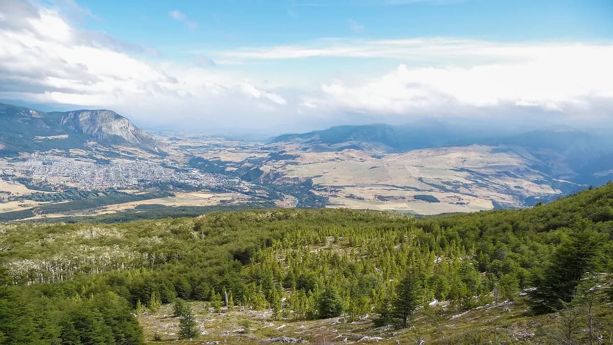
Coyhaique is the capital of the Aysén Region and the largest city on the Carretera Austral. Surrounded by hills, with the Simpson River at its edge and forests minutes from downtown, it works as a base camp for exploring northern Patagonia: Cerro Castillo, the Marble Caves or Queulat National Park. This guide covers things to do in Coyhaique, how long to stay and how to get around.
Things to do in Coyhaique: the essentials
| Place | What it is | Suggested time |
|---|---|---|
| Main square | Pentagon-shaped square at the heart of the city | 30 minutes |
| Piedra del Indio | Rock with the profile of a human face by the Simpson River | 1 hour |
| Simpson River promenade | Urban park of about 3 km with viewpoints and a bike lane | 1 to 2 hours |
| Aysén Regional Museum | Settlement of the region and the Coyhaique Ranch | 1 to 2 hours |
| Coyhaique National Reserve | Forests, lagoons and viewpoints minutes from downtown | Half a day |
| Dos Lagunas Natural Monument | Lagoons and birds on the steppe, on the road to the border | Half a day |
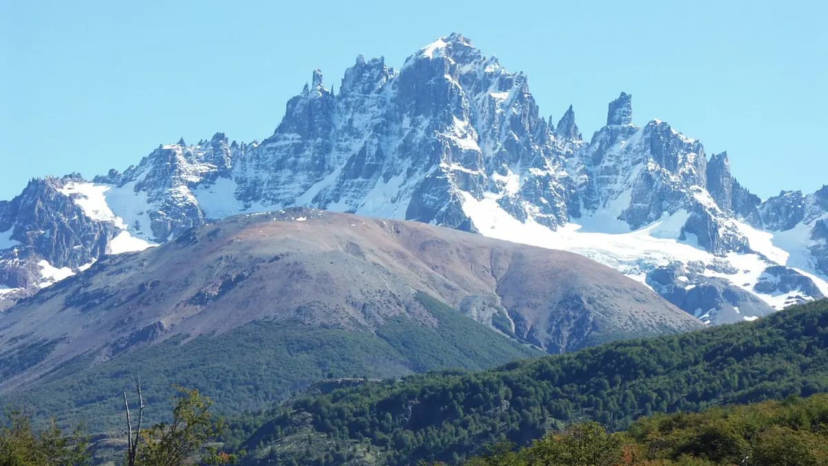
| Cerro Castillo National Park | Rock spires and glaciers, south along Route 7 | Full day or more |
Description of the urban attractions based on Interpatagonia. Opening hours and prices of museums and protected areas change by season: confirm them with the municipality, the museum or Conaf.
Coyhaique National Reserve and its lagoons
A few kilometres from downtown, Coyhaique National Reserve is the easiest nature outing from the city. Its trails cross lenga forests and old plantations to the Verde, Venus, Los Sapos and Los Mallines lagoons, good for birdwatching, and to viewpoints over the valley and the city. It has picnic and camping areas. The access road is steep gravel, so a high-clearance vehicle or walking up is best.
The city: square, Piedra del Indio and the Simpson River
Coyhaique was founded in 1929 and its centre is laid out around a pentagon-shaped square, unusual in Chile, from which the main streets radiate. A few blocks away, the Simpson River promenade is a park of about three kilometres with viewpoints, a bike lane and picnic areas, with Cerro Mackay as a backdrop at sunset. Following the river you reach Piedra del Indio, a rock formation whose silhouette resembles the profile of a face.
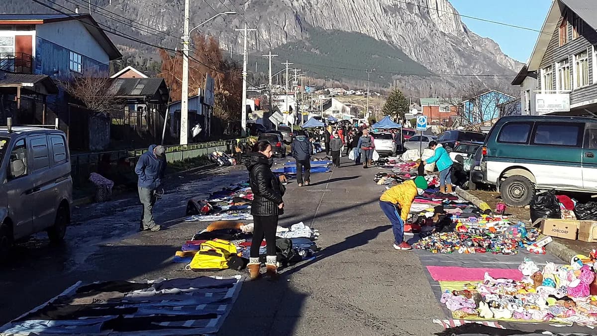
The Aysén Regional Museum, in a restored historic building, tells how the region was settled and the story of the Coyhaique Ranch of the Sociedad Industrial de Aysén, the big livestock company that gave rise to the city. Downtown there are also producer and craft fairs, such as the Feria de las Quintas.
Does your cabin, tour or restaurant in Coyhaique want to reach people driving the Carretera Austral?
See advertising optionsDay trips from Coyhaique
| Destination | What to see | Related guide |
|---|---|---|
| Cerro Castillo | Trekking, Cerro Castillo lagoon and the village of Villa Cerro Castillo | Cerro Castillo National Reserve |
| Marble Caves | Marble caverns on Lake General Carrera, at Puerto Río Tranquilo | What to see in Chilean Patagonia |
| Queulat National Park | Hanging Glacier, north along Route 7 | Carretera Austral guide |
| Puerto Aysén and Puerto Chacabuco | Fjords and boat departures to Laguna San Rafael | Sernatur Aysén |
| Dos Lagunas Natural Monument | Patagonian steppe and birds | Conaf |
Before hitting the road, check Sernatur's new platform showing Carretera Austral roadworks for the 2026-2027 season: 23 projects and 244 kilometres of works, with a planner that estimates waiting times.
When to go and how to get to Coyhaique
- Season: from December to March there are more daylight hours and almost all services are open. Winter is cold and snowy; Aysén's hotel occupancy was 14.0% in August 2026, according to INE, so there is availability but fewer tours.
- By air: flights land at Balmaceda airport, a little over 50 km from the city. For the summer, Sky announced a Temuco-Balmaceda route, according to AeroRoutes.
- Overland: along the Carretera Austral from Puerto Montt and Chaitén, with ferries on the northern stretch, or from Argentina via the region's border crossings.
- How many days: two days for the city and the reserve; five or more if you add Cerro Castillo and Lake General Carrera.
| Aysén, August 2026 (low season) | Figure | 12-month change |
|---|---|---|
| Overnight stays in the region | 13,924 | -2.7% |
| Room occupancy | 14.0% | -0.25 points |
| Average daily rate (ADR) | CLP 56,219 | -15.7% |
Source: INE Monthly Tourist Accommodation Survey, August 2026. In winter rates drop and there is availability; in January and February, book weeks in advance.
If you drive the whole route, our guide on how much a trip to Chile costs helps you budget fuel and accommodation.
Frequently asked questions
What to do in Coyhaique in one day?
Go up to Coyhaique National Reserve in the morning, have lunch downtown, visit the Regional Museum and walk the Simpson River promenade to Piedra del Indio at sunset.
How far is Coyhaique from Cerro Castillo?
Villa Cerro Castillo is south of Coyhaique on Route 7, less than two hours by car in normal conditions; with roadworks, it can take longer.
Which airport serves Coyhaique?
Balmaceda airport, a little over 50 kilometres from the city, with flights from Santiago and Puerto Montt.