Los Vilos is the southernmost municipality of Chile's Coquimbo Region, 224 km from Santiago on Route 5 North, and it brings together two resorts: the town of Los Vilos, with its seafront, fishing coves and Isla de Lobos, and Pichidangui, a horseshoe bay with 6 km of white-sand beach. Distance and location data come from Wikipedia, which records 23,374 inhabitants in the municipality in the 2017 census. The official Sernatur brochure counts nine white-sand beaches, plus the Pupío and Quilimarí valleys inland.
This guide covers the beaches, things to do, the weather and how to get to Los Vilos and Pichidangui, with data checked on 8 November 2026. Schedules and prices change: confirm them before you travel.
View the data as a table
| km from Santiago to Los Vilos | 224 |
| km of beach in Pichidangui | 6 |
| sea lions on Isla de Lobos | 1,300 |
| hectares of the Conchalí lagoon | 34 |
Los Vilos and Pichidangui beaches
| Beach | Where it is | What sets it apart |
|---|---|---|
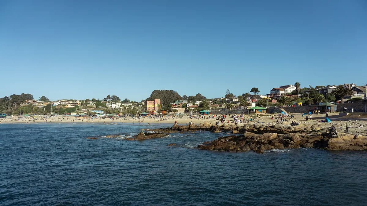
| Los Vilos main beach | Along the Costanera Salvador Allende | About 2 km of white sand; swimming, sport fishing, surfing, windsurfing and sailing |
| Las Conchas | Southern end of the seafront | Next to the municipality's second fishing cove |
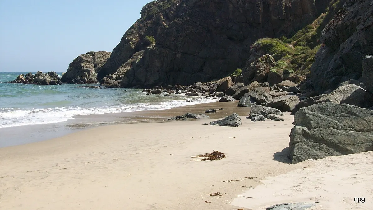
| Ñague | Conchalí bay, north of town | Short white-sand beach next to the Conchalí lagoon; free access on foot from Route 5 |
| Pichidangui | 29 km south of Los Vilos | Horseshoe bay of about 6 km; the south side is more sheltered and the north side has bigger waves |
| Chigualoco and Totoralillo | South of the town of Los Vilos | Two other beaches in the municipality |
Sources: Sernatur's "Destino Los Vilos" brochure (Sernatur), Wikipedia and Wikipedia. Before swimming, check which beaches have lifeguards in the Chilean Navy's Playas Chile app: the list is published beach by beach and changes every summer.
Being right off Route 5, Los Vilos is the classic stop for travellers heading north; it is on the first leg of our Santiago to San Pedro de Atacama road trip. To the south, the coast continues with Papudo and Zapallar, already in the Valparaíso Region.
Things to do in Los Vilos
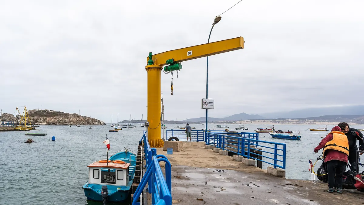
- The Costanera Salvador Allende, the main promenade, with the beach, the aquarium, the old 19th-century Arturo Prat pier and monumental sculptures, including a concrete mastodon by Rodolfo Buchenerick.
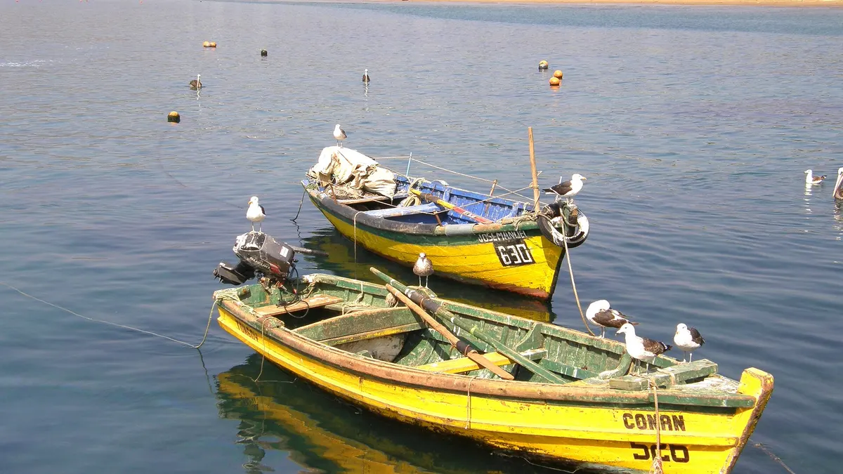
- Caleta San Pedro, the resort's oldest fishing cove, with restaurants and stalls selling fish, shellfish and smoked seafood.
- Isla de Lobos, about 3 km south, home to around 1,300 sea lions that can be watched from the shore. Boats leave from the coves for Isla de Huevos, Isla de Lobos and Isla Verde, 5 km offshore.
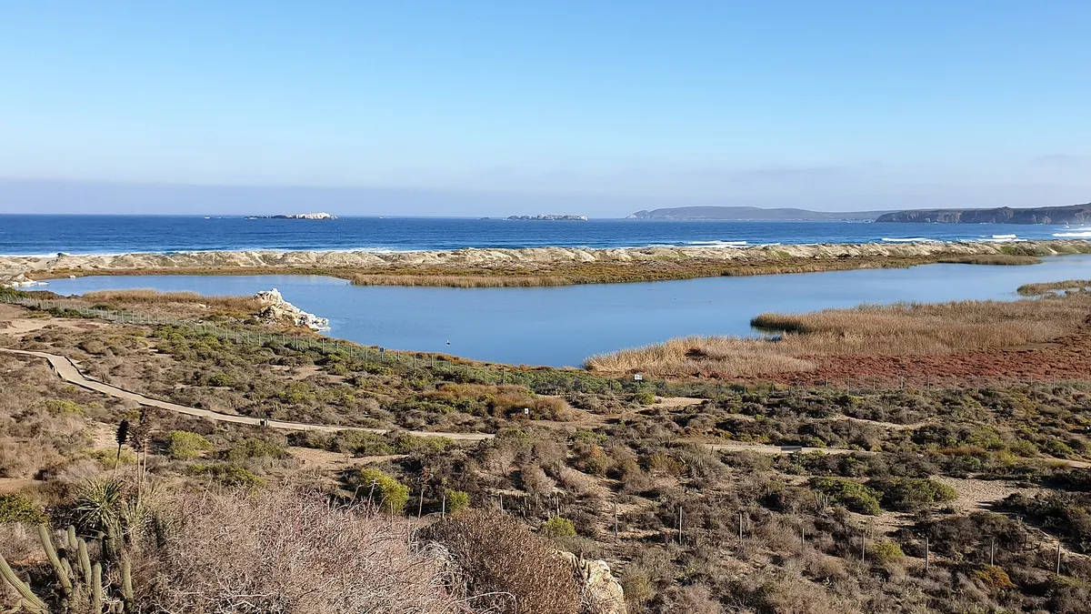
- The Conchalí lagoon, a 34-hectare Nature Sanctuary and Ramsar site with a lookout and footpath; Sernatur describes it as a refuge for more than 100 resident and migratory bird species.
- Piedra de la Virgen, a shrine with a lookout 3 km from the main square, with views of Isla de Huevos and Isla de Lobos.
- Quereo, 3 km south, an archaeological site where remains of mastodons more than 12,000 years old and human settlements over 6,000 years old were found.
Source: Sernatur's "Destino Los Vilos" brochure (Sernatur). El Mostrador adds the self-guided routes of the municipal Amar Los Vilos programme, including the Caimanes and El Quelón railway tunnels, the Tilama petroglyphs and the Culimo reservoir, and records more than 70 bird species at the Conchalí lagoon.
- 1830Los Vilos is foundedIt began as an 18th-century fishing cove.
- 1855Minor portLos Vilos is declared a minor port.
- 1891MunicipalityLos Vilos becomes a municipality.
- 1954Wreck of the Indus 8The whaler hits a rock off Pichidangui (15 November); today it is a dive site.
- 1975Pichidangui becomes a resortRoute 5 makes it accessible and it turns from cove into resort (approximate date).
- 2011Historic monumentsThe Tilama and Quelón railway bridges and tunnels are declared monuments.
Things to do in Pichidangui
Pichidangui had about 1,226 permanent residents in 2013 and its population triples in summer, according to Wikipedia. It was a fishing and livestock cove until Route 5 connected it around 1975, and today it is one of the favourite resorts for windsurfing and sailing thanks to the afternoon wind.
- The horseshoe beach, with whitish sand and turquoise water, sheltered by the small Isla de las Gaviotas and overlooked by Cerro Santa Inés (689 m).
- The stone church of Santa Teresa de Jesús, built entirely of stone.
- The fishing cove, with boat trips and seafood for sale, and next to it the craft fair, open in summer and on long weekends with crafts made of shells, combarbalita stone, copper and leather.
- Diving on the Indus 8, a whaler that sank off the bay on 15 November 1954, plus sport fishing, canoeing and sailing.
- The Pichidangui wetland, next to the beach, and the mouth of the Quilimarí River; 5 km inland lies the village of Quilimarí, with threshing festivals, rodeos and leather crafts.
Sources: Wikipedia and Sernatur. Near the beach is the so-called Quintrala Cave, a rock formation about 100 metres long linked by legend to Catalina de los Ríos y Lisperguer, with no historical evidence. To compare with other windy, wave-rich beaches, see surfing in Chile.
Weather and when to go
It is a mild coastal climate without big extremes. According to Wikipedia, summer highs in Pichidangui are around 22 to 27 °C and the sea reaches 16-18 °C in summer and about 11 °C in winter. The Chilean Meteorological Office has no long-record station in the municipality; the nearest coastal ones are La Serena, to the north, and Viña del Mar, to the south, and Los Vilos lies between them: means of 17 to 18 °C in January and 10 to 11 °C in July between 2016 and 2025.
View the data as a table
| La Serena | Viña del Mar | |
|---|---|---|
| Jan | 17.6 °C | 17.1 °C |
| Feb | 17.9 °C | 16.9 °C |
| Mar | 16.4 °C | 15.8 °C |
| Apr | 14.6 °C | 13.9 °C |
| May | 13.0 °C | 12.6 °C |
| Jun | 11.8 °C | 11.0 °C |
| Jul | 11.2 °C | 10.4 °C |
| Aug | 11.8 °C | 11.1 °C |
| Sep | 12.3 °C | 11.9 °C |
| Oct | 13.2 °C | 13.0 °C |
| Nov | 14.7 °C | 14.9 °C |
| Dec | 16.1 °C | 16.1 °C |
| Period | What Los Vilos and Pichidangui are like |
|---|---|
| December to February | High season; Pichidangui craft fair open; strong afternoon wind, ideal for windsurfing |
| March and April | Fewer people and still mild days |
| May to August | Cold and some rain; the seafront and coves without crowds |
| September to November | Spring: flowers around Quereo and lower prices |
Compiled by Viajando Chile with data from Sernatur, the DMC and Wikipedia.
How to get to Los Vilos and Pichidangui
| Route | How | Details |
|---|---|---|
| Santiago-Los Vilos | Bus | From CLP 9,200; about 3 hours; 68 departures on 8 November 2026 with Pullman Costa, Turbus, Cikbus, Pullman Bus, Expreso Norte and others |
| Santiago-Pichidangui | Bus | From CLP 12,800; 197 km; 10 daily departures with Cormar Bus, Expreso Norte and Norte Azul |
| Santiago-Pichidangui | Car | Route 5 North, exits at km 196 and 199 |
| La Serena-Los Vilos | Car | About 3 hours on Route 5 |
Sources: Kupos and Kupos (checked on 8 November 2026), Sernatur (exits) and El Mostrador (driving times). Route 5 is a toll motorway. If you are a foreign visitor renting a car to explore the northern coast, see our guide to car rental in Chile.
Frequently asked questions
Where is Pichidangui?
In the municipality of Los Vilos, Coquimbo Region, about 196 km north of Santiago and 29 km south of Los Vilos, 5 km from the border with the Valparaíso Region.
Which is better, Los Vilos or Pichidangui?
Pichidangui is quieter and its horseshoe beach is better for swimming and windsurfing; Los Vilos has more services, coves for fish and seafood and boat trips to the islands. They are 29 km apart and easy to combine.
Can you see sea lions in Los Vilos?
Yes. Isla de Lobos, about 3 km south of town, has around 1,300 sea lions according to Sernatur, and they can be seen from the shore. Boat trips also leave from the coves.
How long is the trip from Santiago to Los Vilos?
About 3 hours by bus and about two and a half hours by car on Route 5 North.