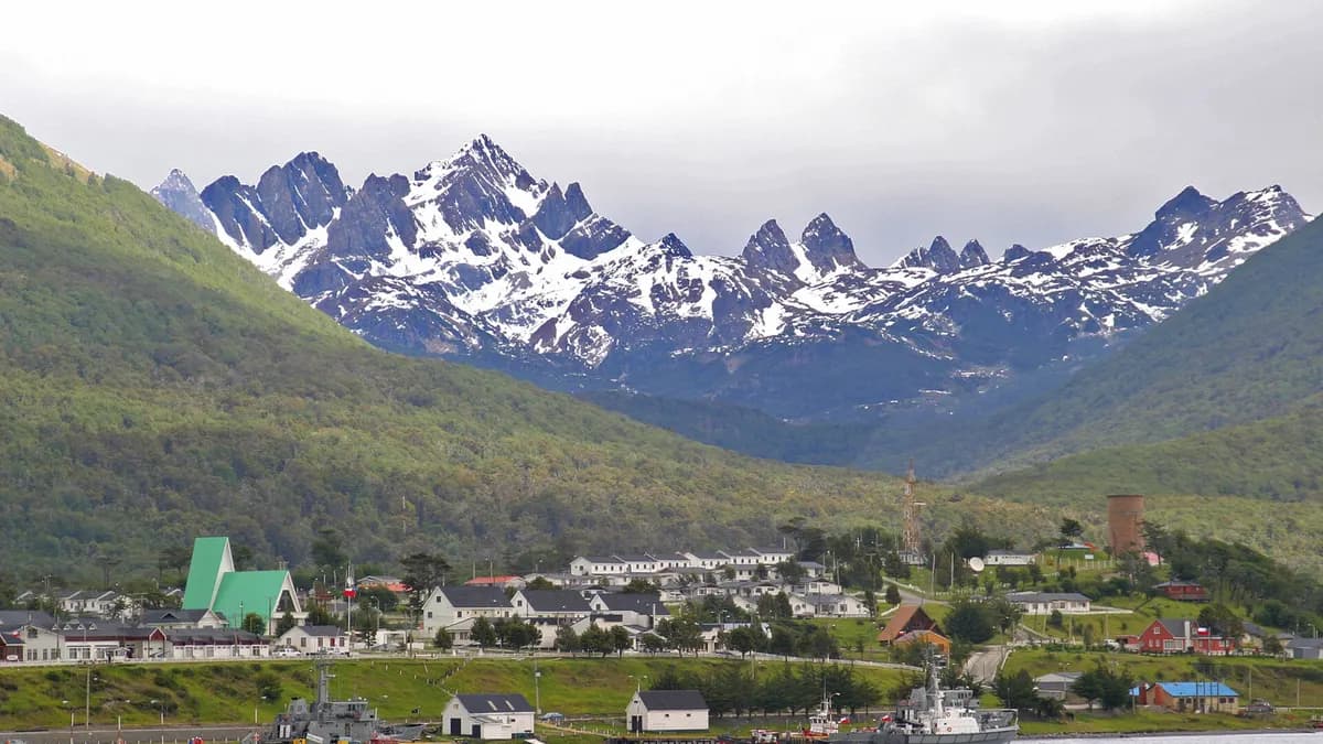
Puerto Williams is the capital of Chile's Antártica Chilena Province, on the north shore of Navarino Island facing the Beagle Channel, and Chile Travel describes it as the southernmost human settlement on the planet. You get there on a flight of about 1 hour 15 minutes from Punta Arenas or on a 30-to-33-hour ferry, and it is the base for the Dientes de Navarino circuit, one of the toughest treks in South America.
*Updated on November 4, 2026.* Transport and sightseeing data come from the Chile Travel page (updated January 7, 2026); trek data from Meteored (April 11, 2026). Ferry and flight schedules change with the season and the weather: confirm them with each company.
Key facts about Chile's southernmost town
| Fact | Value | Source |
|---|---|---|
| Location | Navarino Island, Cabo de Hornos commune, Magallanes Region | Chile Travel |
| Airport | Guardiamarina Zañartu (WPU) | Chile Travel |
| Indigenous people | Yagán; their legacy is kept at the Martín Gusinde Museum | Chile Travel |
| Protected area | Cape Horn Biosphere Reserve | Meteored |
| Nearby national park | Cabo de Hornos, created in 1945, 63,093 ha; about 12 hours by boat | El Desconcierto |
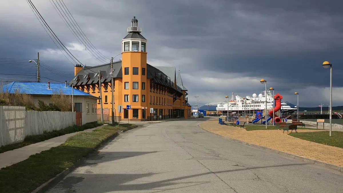
| New hotel | The Cormorant at 55 South, 150 rooms, official opening planned for November 5, 2026 | Silversea |
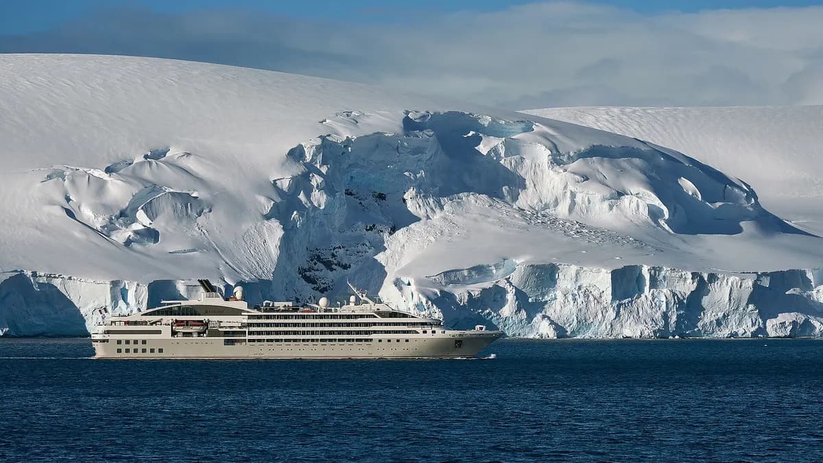
Puerto Williams is also becoming a gateway to Antarctica: the cruise line Silversea opened The Cormorant at 55 South there, the hotel it presents as the southernmost in the world, for its trips that fly straight to King George Island.
How to get to Puerto Williams
| Option | From | Duration | Details |
|---|---|---|---|
| Flight (Aerovías DAP) | Punta Arenas | About 1 h 15 min | Subsidized flights, limited seats and weather-dependent; book ahead |
| Yaghan ferry (TABSA) | Punta Arenas | 30 to 33 hours | Weekly service through the Strait of Magellan and the Beagle Channel; reclining seats |
| Boat across the Beagle Channel | Ushuaia (Argentina) | A few hours, with a transfer from Puerto Navarino | In 2025: US$160 one way and US$280 round trip, minimum 6 passengers |
| Expedition cruise | Ushuaia or Punta Arenas | Several days | Some itineraries call at Puerto Williams and Cape Horn |
Sources: Chile Travel for the flight and ferry; Aerovías DAP and TABSA for bookings; and the October 2025 Turismo Ushuaia activities flyer for the boat crossing. That crossing depends on the weather and on the maritime border being open; we found no published 2026-2027 fares, so confirm with the operator before planning around it.
Things to do in Puerto Williams
- Martín Gusinde Museum: home to the anthropological legacy of the Yagán people.
- Omora Ethnobotanical Park: its trails reveal the miniature forests of mosses and lichens of the far south.
- Cerro Bandera: the climb is the first leg of the Dientes de Navarino circuit and overlooks the Beagle Channel; it can be done as a day hike.
- Boat trips: expeditions leave the port through the Beagle Channel toward Cape Horn.
- Other parks: Chile Travel lists Cabo de Hornos National Park and Karukinka Natural Park as nearby attractions.
Source: Chile Travel. If you are coming from Punta Arenas, take time to see the city before your flight: see things to do in Punta Arenas.
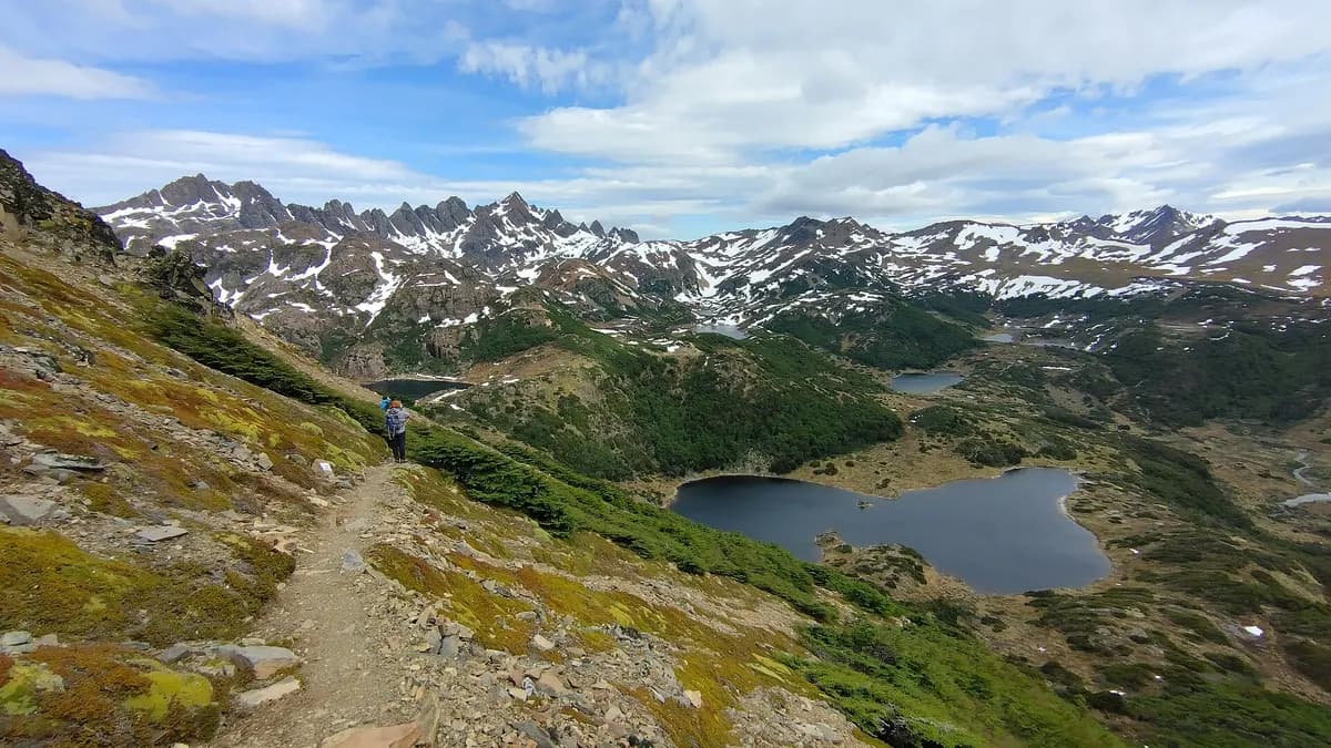
Dientes de Navarino circuit: distance, stages and registration
The Dientes de Navarino circuit loops around the range of rock spires you see from town. It starts about 2 km from the center of Puerto Williams and is often billed as the southernmost trek in the world. Meteored rates it as highly difficult: technical terrain, isolation and weather that often brings all four seasons in one day.
| Stage | Route | What to expect |
|---|---|---|
| 1 | Puerto Williams – Laguna del Salto | Climb up Cerro Bandera, lenga forests and peat bogs |
| 2 | Laguna del Salto – Laguna Escondida | The most technical stage; crosses the range |
| 3 | Laguna Escondida – Laguna Martillo | Passes, glacial valleys and beaver dams |
| 4 | Laguna Martillo – Laguna Los Guanacos | The hardest stage; climbs Paso Virginia, the highest pass |
| 5 | Laguna Los Guanacos – Puerto Williams | Forests and wetlands on the way back |
Source: Meteored, April 11, 2026. The circuit has 38 waymarks, takes 3 to 5 days and Meteored puts it at 38 to 40 km; other trekking guides give about 53 km depending on the variant. Entry is free, but registering at the Carabineros (police) station in Puerto Williams is mandatory, with your itinerary, group size and expected return date.
| Minimum gear | Why |
|---|---|
| Mountain tent and 3- or 4-season sleeping bag | There are no huts; you camp by the lakes |
| Waterproofs, windbreaker, gloves and hat | Strong wind and rain or snow even in summer |
| GPS or offline map and power bank | The trail fades on scree and passes |
| Poles, first-aid kit and extra food | Weather can pin you down |
Source: Meteored. Leave one or two spare days before your return ticket and, if you have no mountain trekking experience, go with a certified guide.
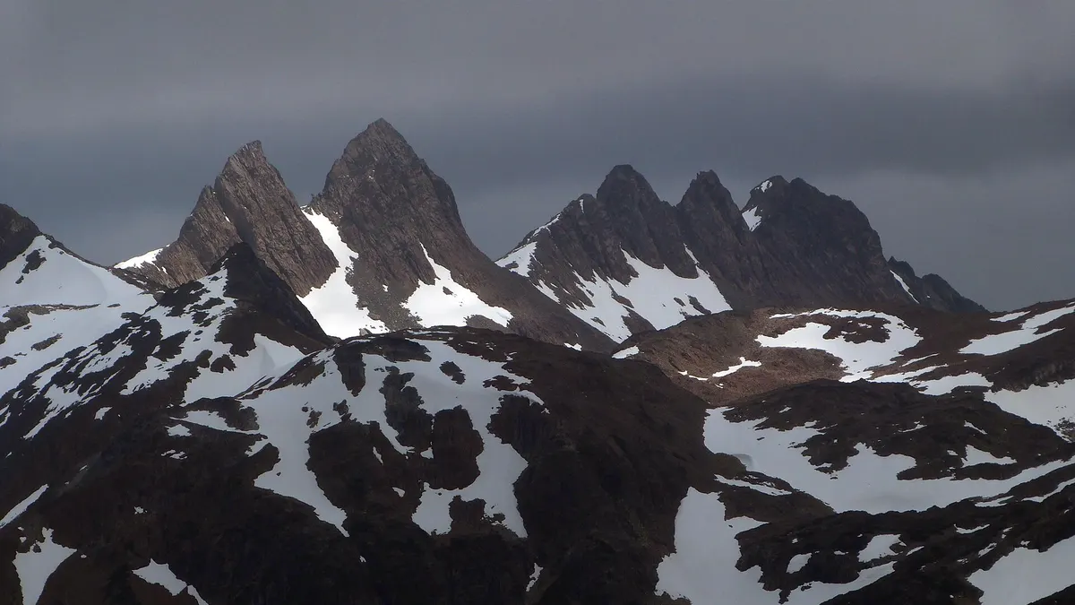
When to visit Puerto Williams
The best time to visit Puerto Williams is the southern summer, from December to March, when days are longest and the weather is somewhat more stable. It is also the only sensible season for the Dientes de Navarino circuit. In winter there is snow on the passes and connections are reduced. To compare with other areas, see when to visit Chile by region.
| Period | Best for |
|---|---|
| November | Start of the season; fewer people, more snow up high |
| December to March | Trekking, boat trips and the Antarctic cruise season |
| April | Autumn colors in the lenga forests; colder |
| May to September | Winter; snow and fewer connections |
Sources: Meteored and Chile Travel. For the rest of your trip in the south, see our first-time guide to Chilean Patagonia.
Frequently asked questions
How do I get from Punta Arenas to Puerto Williams?
By plane with Aerovías DAP, in about 1 hour 15 minutes, or on TABSA's Yaghan ferry, in 30 to 33 hours, according to Chile Travel.
Can you go from Ushuaia to Puerto Williams?
Yes, in season there are boat crossings over the Beagle Channel to Puerto Navarino, followed by a transfer to Puerto Williams. In 2025 they cost US$160 one way, according to Turismo Ushuaia. Confirm 2026-2027 operations.
How many days does the Dientes de Navarino circuit take?
Between 3 and 5 days, according to Meteored. It is free, but you must register with the Carabineros in Puerto Williams before setting out.
Is Puerto Williams the southernmost city in the world?
Chile Travel describes it as the southernmost human settlement on the planet. Ushuaia, in Argentina, is larger but lies further north.