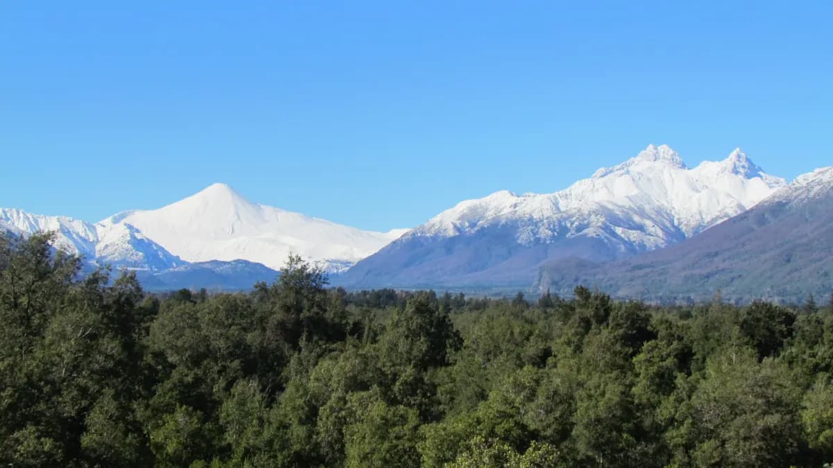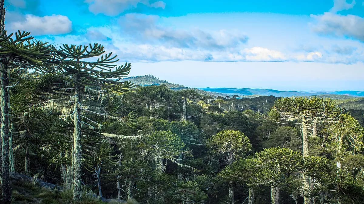
Nahuelbuta National Park protects 6,831.9 hectares of araucaria (monkey puzzle tree) forest on the highest part of Chile's Coastal Range, across the districts of Cañete, Angol, Purén and Los Sauces. It was created on January 4, 1939, and from its most famous lookout, Piedra del Águila, at 1,460 meters, you can see the width of Chile, from the Andes to the sea, according to Conaf's official page.
*Updated October 30, 2026.* Conaf warns there are no services of any kind inside the park: bring water, food and rain gear. The name comes from Mapudungun and means "great puma".
Key facts about Nahuelbuta National Park
| Fact | Value | Source |
|---|---|---|
| Area | 6,831.9 ha | Conaf |
| Created | January 4, 1939 (Supreme Decree 15) | Conaf |
| Provinces | Arauco and Malleco | Conaf |
| Districts | Cañete, Angol, Purén and Los Sauces | Conaf |
| Piedra del Águila lookout | 1,460 m above sea level | Conaf |
| Visitors in 2025 | 22,715 | Conaf, 2025 visitor data |
| Services | None inside the park | Conaf |
Sources: Conaf and Conaf's 2025 visitor spreadsheet (revised February 28, 2026). Other sources give a different height for Piedra del Águila (Wikipedia says 1,379 m); we use Conaf's.
Trails in Nahuelbuta National Park
| Trail | Length | Duration (one way) | Difficulty |
|---|---|---|---|
| Piedra del Águila | 6.4 km | 2 hours | Moderate |
| Casa de Piedra | 2.7 km | 90 minutes | Easy |
| Estero Los Gringos | 3.6 km | 2 hours | Moderate |
| El Aguilucho | 1.6 km | 1 hour | Moderate |
| Cerro Anay | 874 m | 1 hour | Moderate |
Source: Conaf. The most popular is Piedra del Águila, a rocky outcrop on the range's watershed, with views of the Andes and the ocean. From there, according to Conaf, you can take in the width of the country, about 215 kilometers. Cerro Anay is short but climbs to another lookout facing the volcanoes.
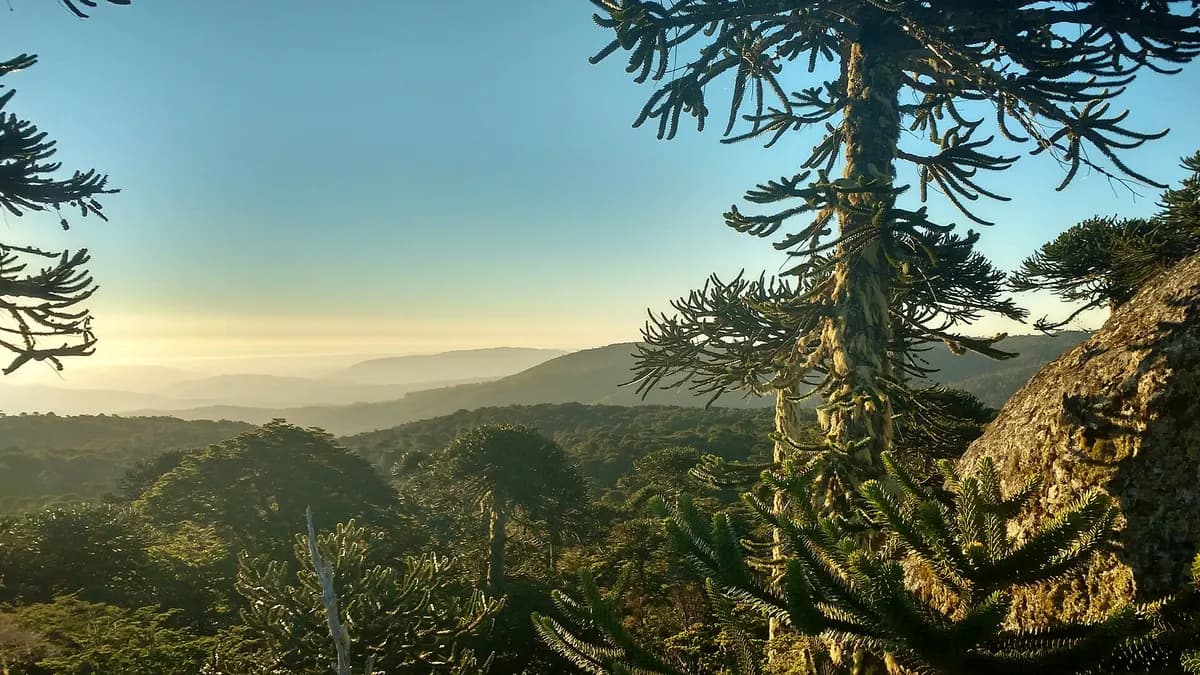
Flora and fauna: araucarias and Darwin's fox
Conaf describes the park as "a relic of nature", almost unchanged for more than 10,000 years. Besides the araucaria, there are roble, coigüe and lenga beeches, with alstroemerias and orchids. Notable fauna includes the sapo de barro frog and the endemic Darwin's (Chilote) fox. It also holds the northernmost wetlands of Chile, according to Conaf.
Do you run cabins, a campsite or tours near Angol or Cañete? Reach travelers planning southern Chile, in four languages.
See advertising optionsHow to get to Nahuelbuta National Park
| From | Route | Distance and time | Source |
|---|---|---|---|
| Angol (main access) | Road to Vegas Blancas | 36 km, about 1 hour (22 km of gravel and the rest dirt) | Conaf and Wikipedia |
| Angol (north) | Road to Cotico | — | Conaf |
| Cañete (west) | Butamalal, El Chacay and Cayucupil | 12 km paved and about 30 km of gravel, about 1 hour | Conaf and Wikipedia |
Distances and times come from Wikipedia; access routes from Conaf. In spring and summer the road is passable for any vehicle; in autumn and winter a 4x4 and snow chains are recommended, as it snows between June and September. There is no public transport to the park.
When to go and how much it costs
The best time is November to April, with dry roads and long days. According to Wikipedia, the climate is temperate, with an annual average of about 13 °C and 1,000 to 1,500 mm of rain a year. In 2025, the busiest month was April (2,801 visitors) and the quietest September (875), according to Conaf.
| Month (2025) | Visitors | Month (2025) | Visitors |
|---|---|---|---|
| January | 2,047 | July | 1,897 |
| February | 2,260 | August | 2,370 |
| March | 1,839 | September | 875 |
| April | 2,801 | October | 1,604 |
| May | 1,622 | November | 1,999 |
| June | 1,741 | December | 1,660 |
Source: Conaf, 2025 protected-area visitor data. The park's page does not publish the entrance fee; check with Conaf or the park's email (parque.nahuelbuta@conaf.cl) before going. Fires, pets and drones are prohibited. Other araucaria forests: Conguillío, Huerquehue and the 7 Lakes route.
Frequently asked questions
Where is Nahuelbuta National Park?
In the Coastal Range, between the Biobío and Araucanía regions, about 36 kilometers from Angol.
Which trail should I do in Nahuelbuta?
Piedra del Águila: 6.4 km and about 2 hours one way, of moderate difficulty, to a lookout at 1,460 m.
Are there services inside the park?
No. Conaf says there are no services of any kind inside, so bring water and food.
Can you go in winter?
Yes, but it snows from June to September and a 4x4 with chains is recommended.