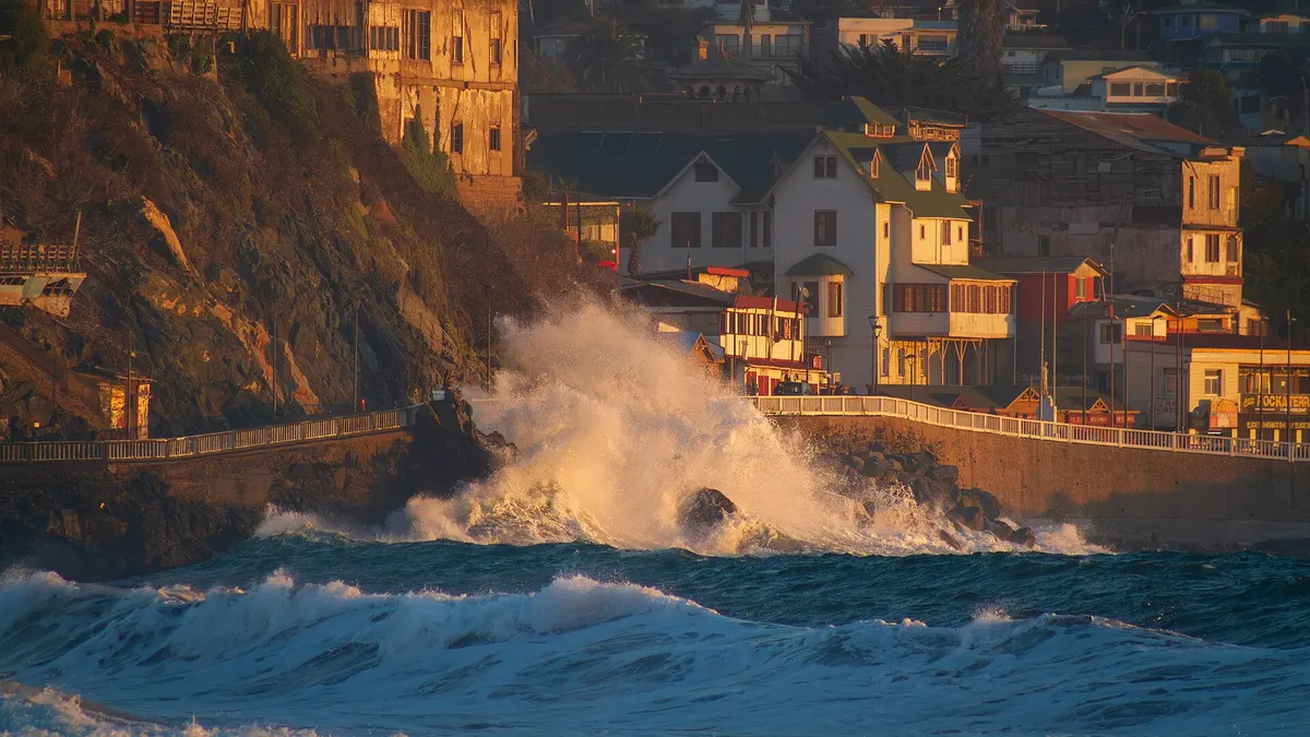
Chile's disaster agency (Senapred) issued a Preventive Early Alert for abnormal swells in coastal municipalities from Arica y Parinacota to Biobío, including the Juan Fernández archipelago, according to [Radio Agricultura](https://www.radioagricultura.cl/noticias/nacional/senapred-declara-alerta-por-marejadas-anormales-en-11-regiones-de-chile-revisa-las-zonas-afectadas_20261118/). The swell will arrive on the morning of Friday 20 November and last until Monday 23: right on the first hot weekend of the season, Senapred is asking people to suspend recreational activities on the coast.
The week brings more warnings: likely thunderstorms on Thursday 19 in ten regions, from Valparaíso to Aysén; 1,761 people cut off by rising rivers in Atacama and Coquimbo, with a red alert in the Elqui Valley; and a jump in temperature in Santiago that would reach 35 °C on Wednesday 25.
View the data as a table
| Regions on swell alert | 10 |
| People cut off by rising rivers | 1,761 |
| Regions with thunderstorm warning | 10 |
| Forecast high in Santiago | 35 °C |
Swells from 20 to 23 November: which coasts are affected
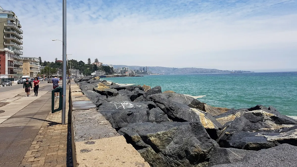
According to the Valparaíso Regional Maritime Weather Centre, quoted by Radio Agricultura, the swell comes from a northern-hemisphere frontal system and will arrive from the northwest, between Arica and the Gulf of Arauco. It is the kind of swell that hits north-facing beaches hard, such as Viña del Mar, Reñaca or Concón.
| Region | Alert | From | Until |
|---|---|---|---|
| Arica y Parinacota, Tarapacá, Antofagasta | Preventive Early Alert for swells | Friday 20 (morning) | Monday 23 |
| Atacama, Coquimbo, Valparaíso | Preventive Early Alert for swells | Friday 20 (morning) | Monday 23 |
| O'Higgins, Maule, Ñuble, Biobío | Preventive Early Alert for swells | Friday 20 (morning) | Monday 23 |
| Juan Fernández archipelago | Preventive Early Alert for swells | Friday 20 (morning) | Monday 23 |
Source: Senapred and the Navy via Radio Agricultura, 18 November 2026. Senapred advises staying away from breakers and rocky areas, driving carefully on coastal roads because of sand, stones and seaweed, and watching for port and cove closures. Check current alerts at senapred.cl.
Thunderstorms on Thursday 19 November
The Chilean Weather Service (DMC) issued a warning for likely thunderstorms on Thursday 19, from morning to night, due to "atmospheric instability", according to Meganoticias. In central Chile it mainly affects the foothills and the Andes, where there are popular trails and mountain roads.
| Region | Areas with likely storms |
|---|---|
| Valparaíso, Metropolitan, O'Higgins, Maule | Foothills and Andes |
| Ñuble and Biobío | Valley, foothills and Andes |
| La Araucanía and Los Ríos | Coast, Coastal Range, valley, foothills and Andes |
| Los Lagos | Coastal Range, valley, foothills, Andes, inner coast and sub-Andean Patagonia |
| Aysén | Northern inner coast, southern Andes and sub-Andean Patagonia |
Source: DMC via Meganoticias. If you have a hike planned in Cajón del Maipo, Río Clarillo or the southern parks, move it to another day: in a thunderstorm, summits and open ground are the most dangerous places. We explained this in the note on the 15 November storms.
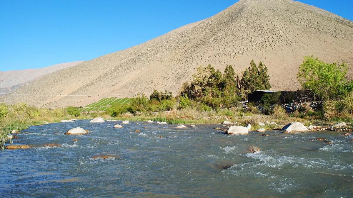
Rising rivers in Atacama and Coquimbo: red alert in the Elqui Valley
Senapred's update at 5:30 am on Wednesday 18, published by La Tercera, counts 846 people cut off in Atacama and 915 in Coquimbo. Alto del Carmen (Atacama) and seven Coquimbo municipalities remain on red alert: Paihuano, Vicuña, Ovalle, Illapel, Salamanca, Monte Patria and Río Hurtado.
| Municipality | Situation on 18 November |
|---|---|
| Alto del Carmen (Atacama) | 819 people cut off; roads C-489 and C-495 obstructed |
| Tierra Amarilla (Atacama) | 27 people cut off in María Isabel by the Copiapó river |
| Vicuña (Coquimbo) | 25 homes with minor damage; Totoralillo and Varillar bridges closed |
| Monte Patria (Coquimbo) | About 900 people cut off (63 families) |
| Paihuano (Coquimbo) | 15 people cut off in El Pajonal-Alcohuaz; 8 footbridges dismantled as a precaution |
| Ovalle (Coquimbo) | Roads D-553 (Trapiche ford) and D-539 (Tabalí ford) closed |
Source: Senapred via La Tercera. If you are going to the Elqui Valley, avoid the inland roads to Alcohuaz and Horcón and check before setting off; the background to these snowmelt floods is in our earlier note.
Heat in Santiago: from 24 °C to 35 °C in a week
According to meteorologist Jaime Leyton's forecast, reported by ADN, Santiago will see 24 °C on Thursday 19, with showers in the mountains, followed by a steady rise: 27 °C on Sunday 22, 30 °C on Monday 23, 32 °C on Tuesday 24 and 35 °C on Wednesday 25. On those days, do outdoor visits early, carry water and sunscreen, and read what tourists should know about the heat.
- Wednesday 18Red alert in 8 municipalities of Atacama and Coquimbo over rising rivers; 1,761 people cut off
- Thursday 19Likely thunderstorms from Valparaíso to Aysén
- Friday 20 (morning)Abnormal swells begin from Arica to the Gulf of Arauco and in Juan Fernández
- Monday 23Last day of the swell warning; Santiago reaches 30 °C
- Wednesday 2535 °C high forecast in Santiago
Frequently asked questions
When are the swells?
From the morning of Friday 20 to Monday 23 November, between Arica and the Gulf of Arauco and in Juan Fernández.
Can I go to the beach this weekend?
Yes, but Senapred advises suspending recreational activities on the coast and keeping away from breakers and rocks while the alert lasts.
Is there a red alert in the Elqui Valley?
Yes: as of 18 November, Vicuña and Paihuano remain on red alert for flooding risk, along with five other Coquimbo municipalities and Alto del Carmen in Atacama.
How hot will Santiago get?
Jaime Leyton's forecast expects 35 °C on Wednesday 25 November.