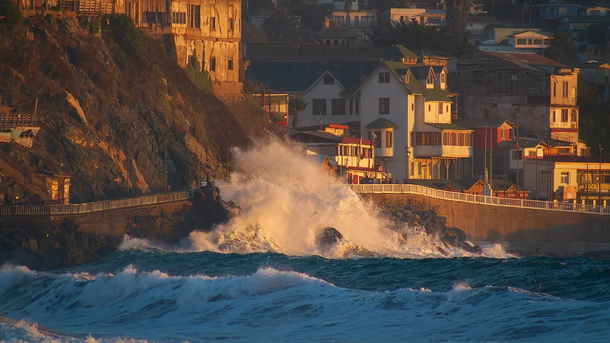
Chile's Meteorological Directorate (DMC) updated its warning A621-1/2026 on the morning of Sunday 15 November for probable thunderstorms from the O'Higgins foothills to Los Lagos, with possible hail and strong local gusts, caused by a cut-off low. Warning A624/2026 is also in force for convective clouds with tornadic features in the afternoon in the Ñuble, Biobío and La Araucanía valley, including Chillán, Los Ángeles and Temuco, according to Meteored and La Serena Radio.
The National Disaster Prevention and Response Service (Senapred) declared an early preventive alert in Ñuble, Biobío, La Araucanía and Los Ríos, La Tercera reported. After a week of extreme heat, covered in our heat piece for 10-14 November, central and southern Chile swing abruptly into an unstable day.
Thunderstorm warnings in force this Sunday
View the data as a table
| Regions under thunderstorm warning | 7 |
| Regions on early preventive alert | 4 |
| Peak gusts in the Maule mountains | 70 km/h |
| DMC warning | Phenomenon | When | Where |
|---|---|---|---|
| A621-1/2026 | Thunderstorms, with probable hail and local gusts | From Sunday 15 morning to night | O'Higgins and Maule (foothills and mountains); Ñuble, Biobío, La Araucanía and Los Ríos (all zones); Los Lagos (all, including the inland coast) |
| A624/2026 | Convective clouds with tornadic features | Sunday 15 afternoon | Ñuble, Biobío and La Araucanía valley (Chillán, Los Ángeles, Temuco) |
| A619-1/2026 | Normal to moderate wind (gusts of 60 km/h in Ñuble and Biobío; 70 km/h in the Maule mountains) | From Saturday 14 afternoon to Monday 16 night | Seven regions, from Coquimbo to Biobío |
| A623/2026 | Easterly wind (raco or puelche), 25-40 km/h with 50 km/h gusts | Sunday 15 afternoon | Valparaíso, Metropolitan and O'Higgins |
Sources: DMC warnings reported by Meteored (14 November, 20:35), La Tercera (warning issued on Saturday 14 at 12:41) and La Serena Radio (Sunday 15 update). The first version of A621 covered Maule to Los Lagos and started in the afternoon; the update added O'Higgins and brought the start forward to the morning.
Which regions have the most thunderstorm warnings
View the data as a table
| O'Higgins | 3 · wind (A619-1), raco wind (A623), thunderstorms (A621-1) |
| Ñuble | 3 · wind (A619-1), thunderstorms (A621-1), tornadic clouds (A624) + early preventive alert |
| Biobío | 3 · wind (A619-1), thunderstorms (A621-1), tornadic clouds (A624) + early preventive alert |
| Valparaíso | 2 · wind (A619-1), raco wind (A623) |
| Metropolitana | 2 · wind (A619-1), raco wind (A623) |
| Maule | 2 · wind (A619-1), thunderstorms (A621-1) |
| La Araucanía | 2 · thunderstorms (A621-1), tornadic clouds (A624) + early preventive alert |
| Coquimbo | 1 · wind (A619-1) |
| Los Ríos | 1 · thunderstorms (A621-1) + early preventive alert |
| Los Lagos | 1 · thunderstorms (A621-1) |
O'Higgins, Ñuble and Biobío have three weather warnings each. Biobío and Ñuble are also under Senapred's early preventive alert, as are La Araucanía and Los Ríos. In Los Ríos, the DMC updated its warning on Sunday morning for the whole region, according to Noticias Los Ríos.
Waterspouts on the coast: the Navy warning
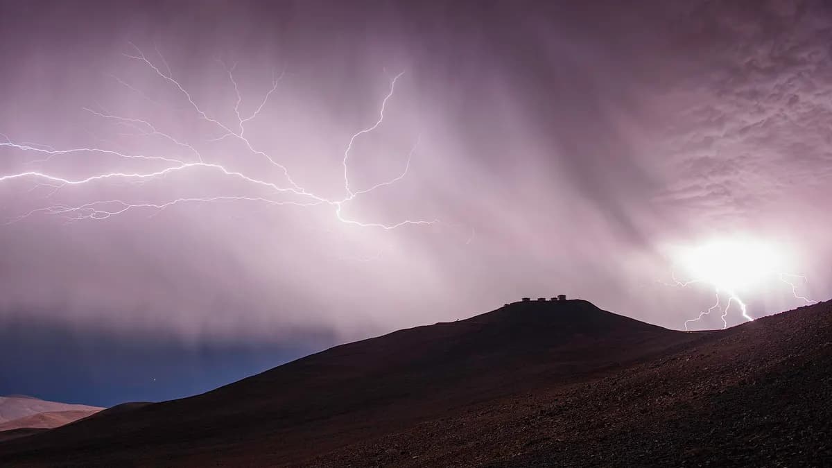
The Navy's Talcahuano Marine Meteorology Centre issued a special warning for possible waterspouts between Lebu and the Los Ríos region, from 11:00 to 21:00, with extra attention from 12:00 to 19:00. Waterspouts are a danger to small craft, water activities and nearby coastal areas, according to Meteored. If you had a boat, kayak or fishing outing planned on that coast, it is worth rescheduling.
What to do if you are travelling in central and southern Chile this Sunday
- Avoid the mountains in the afternoon: storms are most likely in the foothills and mountains. A volcano climb or an exposed trail in Conguillío, Huerquehue or Nevados de Chillán is a bad idea today.
- If there is lightning, come down from summits and keep away from isolated trees, fences and water. A car with a metal roof is a better shelter than a tent.
- No small-boat sailing between Lebu and Los Ríos while the waterspout warning is on.
- If you see a rotating cloud or violent wind, seek a solid building away from windows, as the DMC and Senapred advise.
- In Santiago the main risk is the afternoon raco wind, with gusts of up to 50 km/h: watch out for trees and awnings.
What the weather does on Monday 16
- Sat 14, 12:41DMC issues warning A621 (Maule to Los Lagos)
- Sat 14, afternoonWind warning A619-1 begins
- Sun 15, morningUpdate A621-1: adds O'Higgins and starts earlier
- Sun 15, 11:00-21:00Navy warning for waterspouts between Lebu and Los Ríos
- Sun 15, afternoonTornadic clouds (A624) and raco wind in Santiago (A623)
- Mon 16, nightWind warning A619-1 ends
Wind warning A619-1/2026 stays in force until Monday 16 at night between Coquimbo and Biobío, and the cut-off low may keep affecting central Chile that day, according to El Desconcierto. Before heading out on the road or to a park, check the latest on the DMC website and Senapred channels. If you were planning a southern park, keep our Conguillío National Park guide handy to reschedule calmly.
Less than a week ago there was another storm episode, with red alerts in Coquimbo: see thunderstorms and rain on 9 and 10 November.
Frequently asked questions
Where will there be thunderstorms on Sunday 15 November?
According to DMC warning A621-1/2026, in the foothills and mountains of O'Higgins and Maule, and in all zones of Ñuble, Biobío, La Araucanía, Los Ríos and Los Lagos.
Could there be tornadoes?
The DMC issued warning A624/2026 for probable convective clouds with tornadic features on Sunday afternoon in the Ñuble, Biobío and La Araucanía valley. It is a warning of probability, not confirmation of a tornado.
Which regions are on early preventive alert?
Ñuble, Biobío, La Araucanía and Los Ríos, as reported by La Tercera with Senapred data.
Will it rain in Santiago?
The Metropolitan Region is not in the thunderstorm warning, but it is in the easterly (raco) wind warning for Sunday afternoon, with gusts of up to 50 km/h. Some private forecasts do not rule out isolated showers.