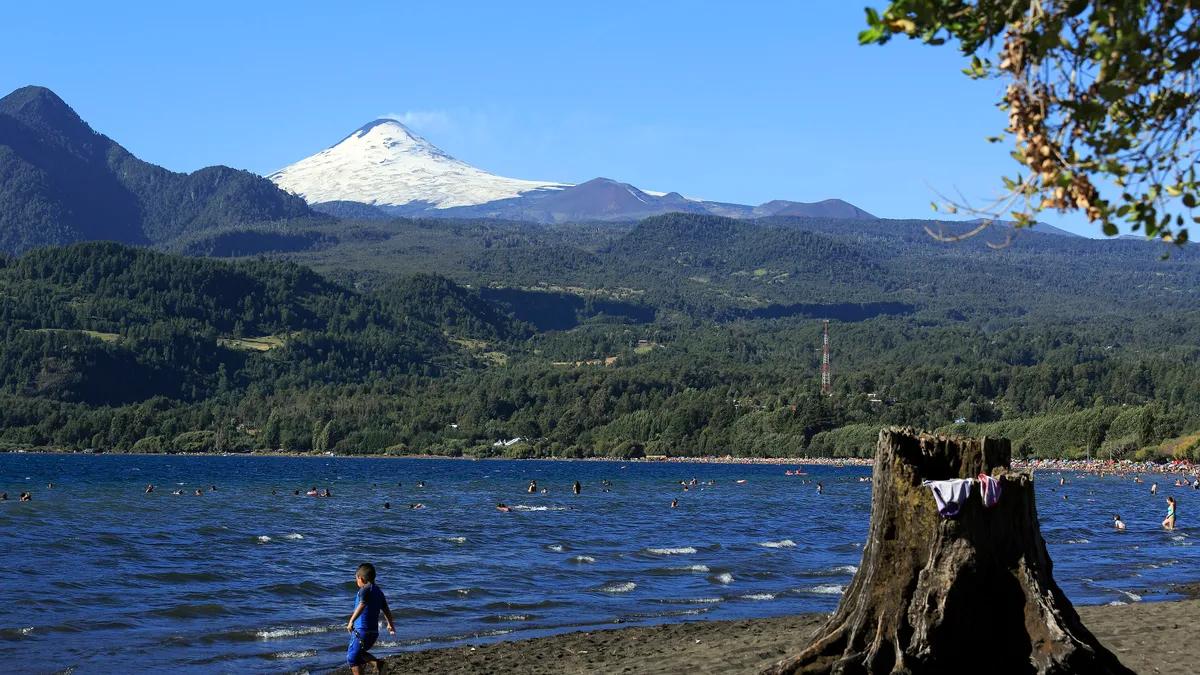
Pelluhue and Curanipe are two seaside towns on the southern Maule coast, about 5 kilometres apart along the M-80-N coastal road, known for their dark-sand beaches, their fishing cove and surfing. Pelluhue means "place of mussels" in Mapudungun and is the largest town in the municipality; Curanipe, a grain port since 1850, is the municipal seat, according to Wikipedia. There are six daily buses from Santiago, from CLP 20,590.
View the data as a table
| Bus fare from Santiago, from | $20,590 |
| Daily bus departures from Santiago | 6 |
| Residents of the municipality | 7,951 |
| Km between Pelluhue and Curanipe | 5 |
What to do in Pelluhue and Curanipe
- Walk Pelluhue's waterfront, the most reviewed spot in the municipality (4.6 with 1,039 reviews on Google Maps).
- Watch the boats come into Curanipe's cove (4.7 with 952 reviews) and buy fresh fish and seafood.
- Take a surf lesson in Curanipe, where there is a surf school and surf shops next to the main beach.
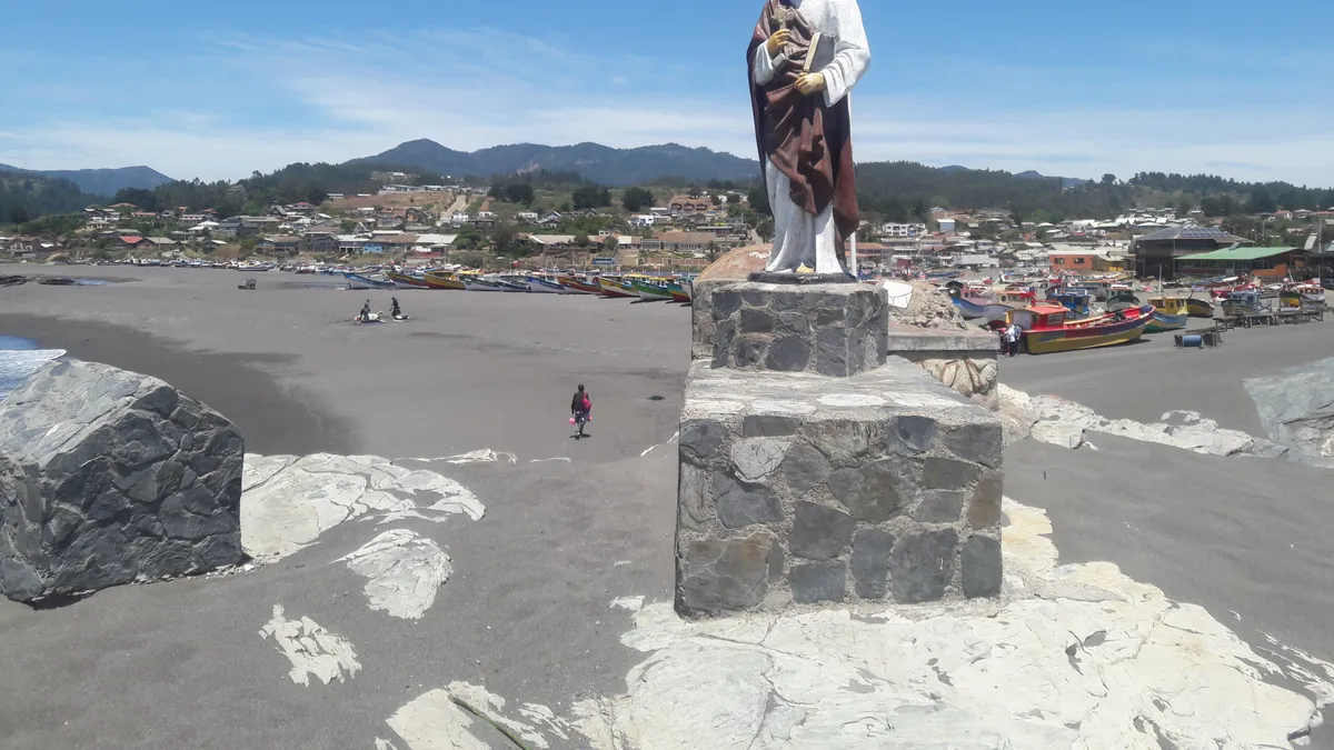
- Climb the Roca de San Pedro, with the saint's statue above Curanipe beach (4.8).
- Look for fresh water: the Cascada del Gato waterfall (4.7) and the Los Gemelos natural pools (4.7), inland.
- Explore quieter beaches, such as Cardonal (4.7) and Lovelvan (4.6).
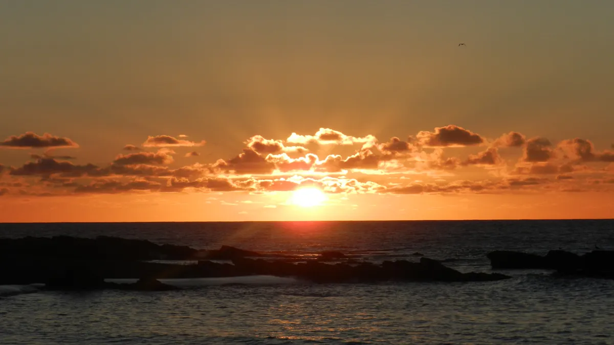
Pelluhue and Curanipe beaches according to visitors
These are the municipality's beaches and spots with ratings and reviews on Google Maps, checked on 14 November 2026. It measures opinion, not an official classification of beaches safe for swimming: always respect the flags and designated areas.
| Costanera de Pelluhue | Pelluhue | 4.6 | 1,039 |
| Caleta Curanipe | Curanipe | 4.7 | 952 |
| Playa de Curanipe | Curanipe | 4.6 | 734 |
| Mirador Playa Pelluhue | Pelluhue | 4.6 | 377 |
| Playa Cardonal | Curanipe | 4.7 | 272 |
| Playa Lovelvan | Pelluhue | 4.6 | 206 |
| Cascada del Gato | Pelluhue | 4.7 | 166 |
| Roca de San Pedro | Curanipe | 4.8 | 71 |
| Piedra Amarilla | Pelluhue | 4.6 | 57 |
| Pozones Los Gemelos | Pelluhue | 4.7 | 56 |
| Place | What it has | Best for |
|---|---|---|
| Pelluhue waterfront | Beachfront promenade, services and shops | Families |
| Curanipe beach | Main beach, waves and surf school | Surfing and bodyboarding |
| Curanipe cove | Fishing boats and seafood sales | Food |
| Cardonal beach | Public beach south of Curanipe | Peace and quiet |
| Cascada del Gato and Los Gemelos pools | Fresh water among the hills | Hot days |
Surfing in Curanipe
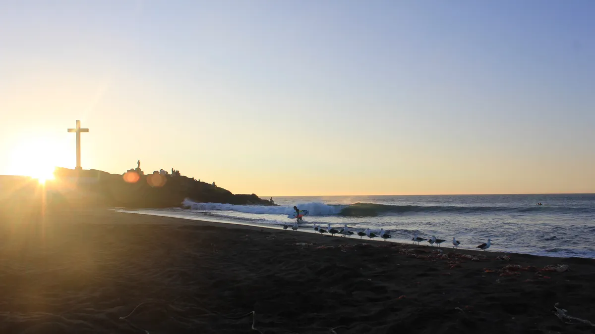
Curanipe promotes itself as a key surf spot in the Maule. Its main beach hosted the Primavera Surf championship in late November 2025, organised by the Pelluhue council, with local and national surfers, Radio Universidad de Chile reported. If it is your first time, take a lesson: the Pacific on this coast is cold and has currents. To compare with other waves in the country, see the best surf beaches in Chile and things to do in Pichilemu.
History of Pelluhue and Curanipe
Curanipe was opened as a port on 2 May 1850 to ship grain and timber, and its streets were laid out in 1854, according to Wikipedia. The municipality of Pelluhue was created on 26 October 1979, split from Chanco. The 27 February 2010 earthquake and tsunami hit the area hard: Curanipe's cove reopened in 2011.
- 1850Curanipe is opened as a port for grain and timber
- 1891The Curanipe municipality is created
- 1979The municipality of Pelluhue is created, split from Chanco
- 2010The 27 February earthquake and tsunami hit the coastCuranipe's cove reopened in 2011.
- Nov 2025Primavera Surf on Curanipe's main beach
How to get to Pelluhue and Curanipe
| Mode | Details | Source |
|---|---|---|
| Bus from Santiago | Pullman del Sur: 6 daily departures between 06:50 and 19:30; semi-reclining from CLP 20,590 and full-reclining CLP 22,750 | Kupos, 14 November 2026 |
| Car | Route 5 South to the Talca area, then to the coast via Cauquenes or Chanco | Regional roads |
| Between Pelluhue and Curanipe | About 5 km on the M-80-N coastal road, which continues south to Cobquecura | Wikipedia |
Following the coast south you reach Cobquecura and its sea lion colony, in Ñuble. To the north, near Chanco, is the Federico Albert National Reserve, a forest planted to stop the dunes advancing (Wikipedia), which had 9,151 visits in 2025 according to Conaf.
Pelluhue and Curanipe in a weekend
- Saturday morning: stroll Pelluhue's waterfront and swim if the flags allow.
- Saturday noon: fish and seafood lunch near Curanipe's cove, 5 km away.
- Saturday afternoon: surf or bodyboard lesson on Curanipe's main beach and sunset from the Roca de San Pedro.
- Sunday morning: Cascada del Gato or the Los Gemelos pools to swap the sea for fresh water.
- Sunday afternoon: head back via Chanco, stopping at the Federico Albert National Reserve.
A safety tip: this coast was hit by the 2010 tsunami. Look for evacuation route signs and safe zones when you reach your accommodation; after a strong earthquake that makes it hard to stand, go to high ground without waiting for a warning.
When to go to Pelluhue
| Period | What to expect |
|---|---|
| December to February | High season: more services open, summer festivals and busy beaches |
| March and April | Fewer people and still mild days |
| November | Spring on the coast; the spring surf championship was held in 2025 |
| Winter | Swells and storms; better for watching the sea from viewpoints |
To choose among more of the country's coastline, see the best beaches in Chile from north to south.
Frequently asked questions
Where is Pelluhue?
On the coast of Cauquenes province, Maule Region, about 318 km in a straight line south-west of Santiago.
Which is better, Pelluhue or Curanipe?
Pelluhue has the busiest waterfront and more services; Curanipe is better for surfing and its cove. Being 5 km apart, you can see both in a day.
Can you swim at Pelluhue's beaches?
Yes, at beaches designated for swimming. The Pacific on this coast is cold and has currents, so respect the flags and avoid swimming near rocks.
How much is the bus from Santiago to Pelluhue?
From CLP 20,590 semi-reclining and 22,750 full-reclining with Pullman del Sur, according to Kupos on 14 November 2026. Prices vary by date.