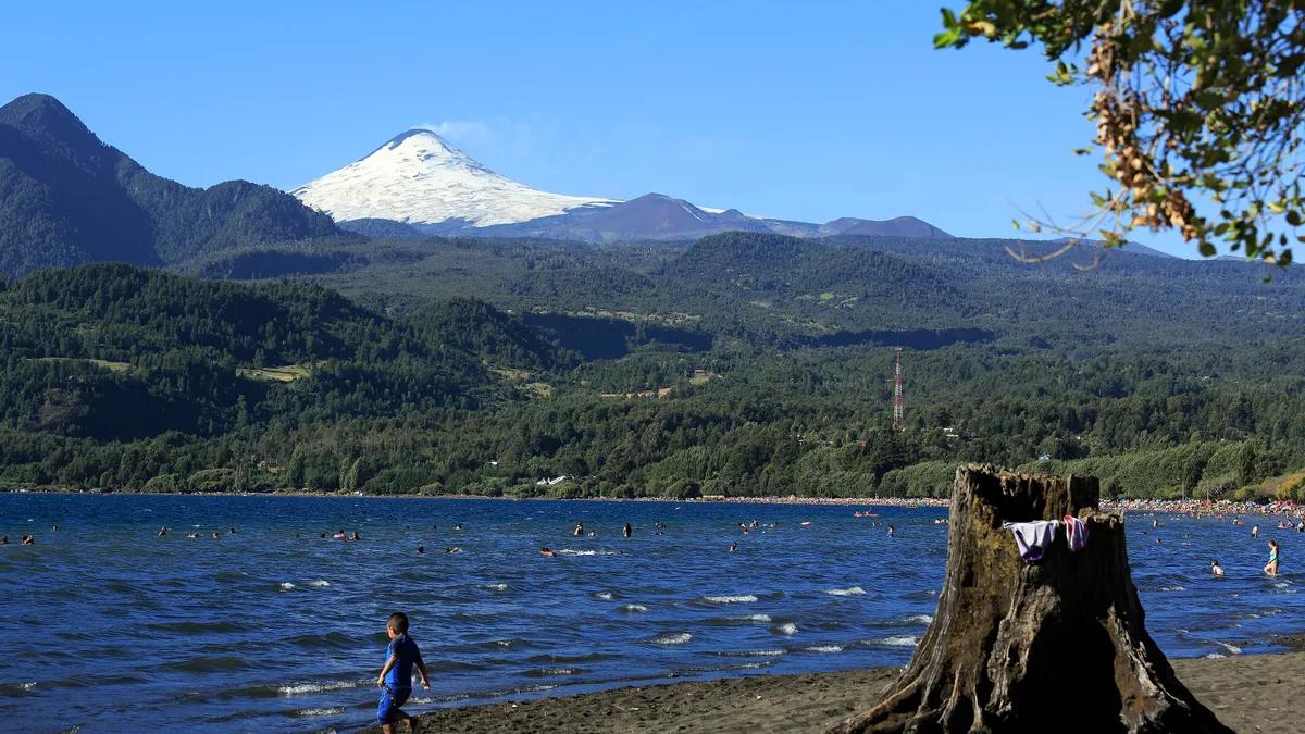
Coñaripe is a town of 1,477 people (2017 census) on the eastern shore of Lake Calafquén, in the Panguipulli municipality of Chile's Los Ríos Region, known for its roughly 3-kilometre volcanic-sand beach facing Villarrica volcano and as the gateway to the hot springs route towards Liquiñe, according to Wikipedia. Its population swells in summer with visitors.
Its name comes from the Mapuche language, Kona Rüpü, "the warrior's path". It is a quiet family destination with hot springs less than 20 kilometres away and access to several of the Seven Lakes.
Coñaripe in figures
View the data as a table
| Inhabitants (2017 census) | 1,477 |
| Kilometres of beach on Lake Calafquén | ~3 |
| Km in a straight line to Villarrica's crater | 18 |
| Lake temperature in summer | 22 °C |
Things to do in Coñaripe
| Attraction | What it is | Google Maps rating (13 Nov 2026) |
|---|---|---|
| Coñaripe beach | About 3 km of black sand on Lake Calafquén, with Villarrica volcano to the north | 4.7 (2,696 reviews) |
| Lake Pellaifa | About 7 km away; its public beach formed after the 1960 earthquake | 4.8 (645 reviews) |
| Termas Martini (formerly Termas Geométricas) | 18 stone pools in a ravine, about 16 km away | 4.7 (8,628 reviews) |
| Termas El Rincón | In the Cajón Negro area | 4.5 (1,116 reviews) |
| Termas Vergara | On the road to Villarrica National Park | 4.4 (1,455 reviews) |
| Termas Coñaripe | Hot springs hotel at km 15 towards Liquiñe | 4.0 (2,261 reviews) |
| Termas Río Liquiñe | In Liquiñe, on route 201 | 4.4 (674 reviews) |
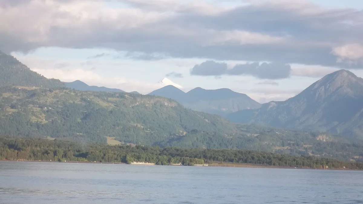
Swimming in Lake Calafquén
Calafquén covers 114.9 km² according to the DGA and its water reaches about 22 °C in summer, according to Wikipedia: one of the warmest of the southern lakes. The eastern shore, where Coñaripe sits, is low and covered in volcanic sand, ideal for children. The lake features in our list of the best lakes in Chile.
The Coñaripe-Liquiñe hot springs route
Between Coñaripe and Liquiñe lies one of the densest clusters of hot springs in Chile. The best known is the former Termas Geométricas, which since 1 October 2026 operates as Termas Martini, as we explained in this story. To compare prices and temperatures, see the best hot springs in Chile.
Viewpoints, Mapuche culture and the Black Christ
The Pillinque Alto, Ñisoleufú and Ruka Klen viewpoints overlook the volcano and the lakes. Today's town lies a kilometre south-west of the original: on 2 March 1964 a lahar from Villarrica volcano destroyed much of Coñaripe and killed 22 to 23 people; the Cristo Negro (Black Christ) was built in their memory, according to Wikipedia. The area is Mapuche territory with active communities.
How to get to Coñaripe
| From | How | Price and time (Kupos, 13 Nov 2026) |
|---|---|---|
| Santiago | Direct overnight bus (Kupos) | From 30,800 pesos, about 10 hours |
| Temuco | Buses JAC (Kupos) | 10,600 pesos, about 2 h 45 min |
| Villarrica | Drive via Lican Ray along the lake | Calafquén is about 30 km south of Villarrica |
| Pucón | Drive via Villarrica and Lican Ray | Combine with the hot springs on the Coñaripe road |
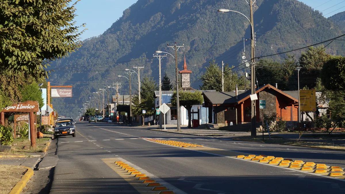
Coñaripe weather and when to go
The climate is temperate and rainy with dry summers: in January and February highs can top 30 °C and rain concentrates between May and July, with an annual average of about 11.2 °C, according to Wikipedia. December to March is beach season; in winter the hot springs are the plan, and roads may be icy.
Tips for visiting Coñaripe
- Villarrica volcano: Coñaripe is 18 km in a straight line from the crater of the volcano ranked highest-risk in Chile by Sernageomin. Check the current alert level and the municipal evacuation routes; more in how to climb Villarrica volcano.
- Book the hot springs: the best-known ones have time slots in high season.
- Cash: there are few ATMs along the hot springs roads.
- Combine it with Panguipulli and the Seven Lakes or Villarrica.
Frequently asked questions
Where is Coñaripe?
On the eastern shore of Lake Calafquén, Panguipulli municipality, Los Ríos Region, at the foot of Villarrica volcano.
What hot springs are near Coñaripe?
Termas Martini (formerly Geométricas), El Rincón, Vergara, Coñaripe and those in Liquiñe, among others, all on the roads towards Villarrica National Park or Liquiñe.
How much is the bus from Santiago to Coñaripe?
From 30,800 pesos on Kupos as of 13 November 2026, for a trip of about 10 hours.