*Updated on 11 November 2026.*
The nine best hikes near Santiago, according to the data we gathered, are between 12 and 67 kilometres in a straight line from the Plaza de Armas, cost between CLP 3,450 and 7,700 for a Chilean adult, and all have a Google Maps rating of 4.6 or higher. The most reviewed is Quebrada de Macul (4.7 with 11,072 reviews) and the most visited of those run by Conaf is La Campana National Park (38,410 visits in 2025).
How we chose this list
- Reviews: each park's rating and number of reviews on Google Maps, checked on 11 November 2026. Only places rated 4.6 or higher are included.
- Official price: adult entry according to each park's website (Asociación Parque Cordillera, Conaf's Pases Parques, Yerba Loca and Cascada de las Ánimas), checked on 11 November 2026.
- Visits: for Conaf areas, the Protected Areas Visitation 2025 spreadsheet.
- Distance: straight line from Santiago's Plaza de Armas, calculated with Google Maps coordinates. Road distance is longer.
- Order: nearest to farthest from Santiago. It is not a quality ranking: the best one depends on your fitness and time. The list is not exhaustive; free-access hills such as Cerro Manquehue are left out because there is no price or operator to verify.
Comparison table of the best hikes near Santiago
| Salto de Apoquindo | 12 | 3,450 | 4.7 | 8,456 |
| Quebrada de Macul | 14 | 3,450 | 4.7 | 11,072 |
| Alto del Naranjo | 15 | 3,450 | 4.7 | 1,302 |
| Cerro Provincia | 20 | 3,450 | 4.9 | 130 |
| Yerba Loca | 32 | 7,000 | 4.7 | 2,290 |
| Río Clarillo | 33 | 7,700 | 4.6 | 1,980 |
| Cascada de las Ánimas | 45 | 12,000 | 4.6 | 3,523 |
| El Morado | 66 | 4,500 | 4.8 | 1,252 |
| La Campana | 67 | 4,500 | 4.7 | 2,360 |
| Hike | Region | Adult price 2026 | Distance and access | Best season | Ideal for |
|---|---|---|---|---|---|
| Salto de Apoquindo (Aguas de Ramón) | Metropolitan | CLP 3,450 (Parque Cordillera) | 12 km; Las Condes, by car or taxi | Spring and autumn | Families with older children |
| Quebrada de Macul | Metropolitan | CLP 3,450 (Parque Cordillera) | 14 km; Peñalolén and La Florida | Spring and autumn | First hike |
| Alto del Naranjo (San Carlos de Apoquindo) | Metropolitan | CLP 3,450 (Parque Cordillera) | 15 km; Las Condes | Spring and autumn | Tough training |
| Cerro Provincia (Puente Ñilhue) | Metropolitan | CLP 3,450 (Parque Cordillera) | 20 km; Farellones road, km 5.3 | Spring to autumn | Mountaineers |
| Yerba Loca | Metropolitan | CLP 7,000 (Yerba Loca) | 32 km; Farellones road | October to May | Couples, camping |
| Río Clarillo | Metropolitan | CLP 7,700 (Pases Parques) | 33 km; Pirque | Year-round | Families, river |
| Cascada de las Ánimas | Metropolitan | Hike from CLP 12,000 (Cascada de las Ánimas) | 45 km; San Alfonso, Cajón del Maipo | Year-round | Guided |
| El Morado | Metropolitan | CLP 4,500 Chilean; CLP 9,300 foreigner (Pases Parques) | 66 km; 93 km by road, 2.5 h (Conaf) | October to March | Adventure, glacier |
| Cerro La Campana | Valparaíso | CLP 4,500 Chilean; CLP 8,900 foreigner (Pases Parques) | 67 km; Olmué | September to May (summit) | Adventure, history |
Best season: as stated by each park when it publishes one (Yerba Loca, La Campana, El Morado); for the foothill parks it is general advice, given summer heat and winter snow.
The 9 best hikes near Santiago, one by one
1. Salto de Apoquindo, Aguas de Ramón Nature Park
4.7 on Google Maps with 8,456 reviews. The Salto de Apoquindo trail is a 6.5-kilometre loop, about 4 hours return, with 270 metres of elevation gain; last entry is at 14:00, according to the Asociación Parque Cordillera. This is the park where the Andean cat was recorded in November 2026.
2. Quebrada de Macul
4.7 with 11,072 reviews, the most reviewed on the list. Entry is CLP 3,450 for adults and CLP 2,300 for seniors and children (Parque Cordillera). It is the closest to south-eastern Santiago.
3. Alto del Naranjo, San Carlos de Apoquindo Nature Park
4.7 with 1,302 reviews. The Alto del Naranjo trail climbs to 1,856 metres with 836 metres of gain, 12 kilometres return and about four and a half hours of walking, with no water on the route (Parque Cordillera).
4. Cerro Provincia, Puente Ñilhue Nature Park
4.9 with 130 reviews, the highest rating. From the Farellones road (km 5.3) you climb to the 2,750-metre summit of Cerro Provincia. It is the toughest hike in the foothills: last entry to the summit route is at 9:00 (Parque Cordillera).
5. Yerba Loca
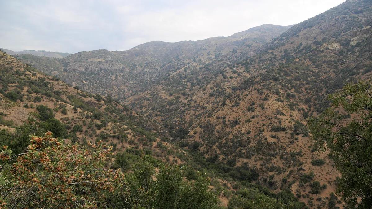
4.7 with 2,290 reviews. Entry is CLP 7,000 per day for adults and CLP 2,500 for children and teenagers, online only (Yerba Loca). It has 30 kilometres of trails: the Los Cóndores viewpoint (1.9 km, family-friendly) is the short one, and the La Paloma Glacier viewpoint (14.3 km from Villa Paulina) is recommended over two days (Yerba Loca).
6. Río Clarillo National Park
4.6 with 1,980 reviews and 33,516 visits in 2025. Short trails, from 500 metres to 2 kilometres (Conaf). Note: Pases Parques reports that since 20 July the Rincón de los Bueyes, Aliwen Mahuida and Peumal trails are closed because the river flood removed footbridges (Pases Parques).
7. Cascada de las Ánimas
4.6 with 3,523 reviews. It is a private sanctuary in San Alfonso: visits are guided and the hike starts at CLP 12,000 (Cascada de las Ánimas). More in our guide to Cascada de las Ánimas.
8. El Morado Natural Monument
4.8 with 1,252 reviews and 7,759 visits in 2025. The San Francisco Glacier trail is 6 kilometres and 5 hours return, but today you can only walk as far as the lagoon: the glacier area is closed because of rockfall (Conaf).
9. Cerro La Campana
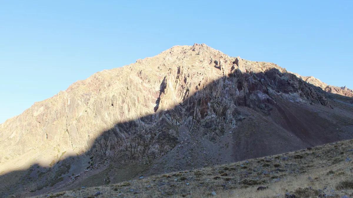
4.7 with 2,360 reviews and 38,410 visits in 2025. The El Andinista trail, 7 kilometres and about 8 hours, reaches the summit; it closes from June to August (Conaf). The summit climb is sold separately, Friday to Sunday from September to May, with last entry at 9:00 (Pases Parques). The Granizo sector costs CLP 4,500 (Pases Parques). Details in our La Campana guide.
Distance and popularity of the hikes near Santiago
View the data as a table
| Straight-line distance (km) | Adult price (CLP) | |
|---|---|---|
| Salto de Apoquindo | 12 | 3,450 |
| Quebrada de Macul | 14 | 3,450 |
| Alto del Naranjo | 15 | 3,450 |
| Cerro Provincia | 20 | 3,450 |
| Yerba Loca | 32 | 7,000 |
| Río Clarillo | 33 | 7,700 |
| Cascada de las Ánimas | 45 | 12,000 |
| El Morado | 66 | 4,500 |
| La Campana | 67 | 4,500 |
Which hike near Santiago to choose for your profile
- Travelling with children: Río Clarillo (short trails and river) or the Los Cóndores viewpoint at Yerba Loca.
- Your first hike: Quebrada de Macul or Salto de Apoquindo.
- A one-day challenge: Alto del Naranjo, Cerro Provincia or the summit of La Campana.
- Glaciers and high mountains: El Morado, or Yerba Loca to La Paloma over two days.
- No car: Aguas de Ramón and Quebrada de Macul are inside the city; in season, Metrobús 72 runs to El Morado from Bellavista de La Florida (Conaf).
More ideas: Cerro San Cristóbal as an urban hike and our guide to things to do in the Cajón del Maipo.
Frequently asked questions
What is the best hike near Santiago?
It depends on your profile. By Google Maps rating, Cerro Provincia (4.9); by number of reviews, Quebrada de Macul; by official visits, La Campana.
How much does it cost to enter the foothill parks?
In the Asociación Parque Cordillera network, CLP 3,450 for adults and CLP 2,300 for seniors and children (November 2026).
Can you reach the El Morado glacier?
No. Conaf only allows walking to the lagoon, because the glacier area is unstable due to rockfall.