A new weather front will reach central Chile between Sunday, October 18 and Wednesday, October 21, and travel plans for this weekend and the following days should be reviewed. Chile's National Disaster Prevention and Response Service (Senapred) issued a preventive early alert in the regions from Atacama to Los Lagos, as reported by BioBioChile on Friday the 16th.
The Chilean Meteorological Office (DMC) issued a warning for thunderstorms and precipitation covering the Atacama cordillera down to Biobío, plus the Juan Fernández archipelago. Storms, hail and wind gusts are expected. Whether the alert is raised to a higher level for rainfall will be decided after this weekend's assessment.
When the weather front arrives, day by day
| Day | What to expect | Source |
|---|---|---|
| Saturday 17 and Sunday 18 | Municipalities hold emergency committees (COGRID) before the event | Senapred |
| Sunday 18 | The system reaches central Chile: rain from Coquimbo to Maule and snow in the Andes | DMC, via BioBioChile |
| Monday 19 | Rain returns in the afternoon; storms in Biobío from the afternoon | DMC |
| Tuesday 20 afternoon to early Wednesday 21 | Heaviest rainfall | DMC, via BioBioChile |
DMC meteorologist Arnaldo Zúñiga asked people not to expect a storm from day one: "Let's not expect a deluge on Sunday", he said, while warning that "conditions are very unstable". The agency said the system carries plenty of moisture but is not an atmospheric river, and linked these conditions to El Niño, so similar events could recur for the rest of spring.
Why the weather front's high freezing level matters
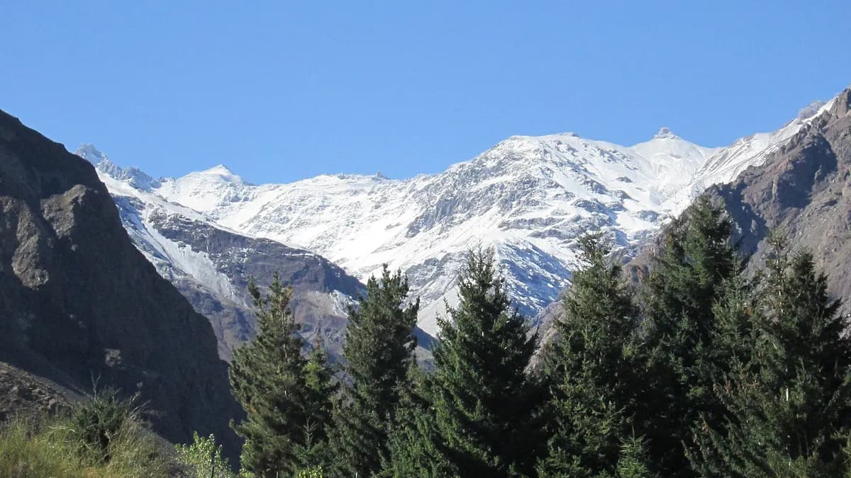
According to the DMC, precipitation will begin with a high freezing level, around 3,000 meters on average, which will then drop quickly as the low-pressure system approaches. A high freezing level means rain instead of snow in foothill areas where snow would fall in winter. That raises the flow of rivers and ravines and the risk of landslides.
Acting Interior Minister Máximo Pavez led coordination with municipalities, which were asked to clear drains, check roofs and repeat typical winter precautions even though it is spring. Power companies were asked to reinforce their emergency plans and crews, following instructions from the Superintendency of Electricity and Fuels (SEC), to restore service quickly if there are outages.
That is why the government asked for close monitoring of foothill areas and places with a history of mudslides, and for machinery and staff to be deployed preventively. Senapred's national director, Alicia Cebrián, urged people to follow official channels and "not expose themselves" during heavy rain or thunderstorms.
Does your transport company, hotel or tour in central Chile want to reach travelers adjusting their plans because of the weather?
See advertising formatsRoads and destinations to check
| Destination or road | What to check | Where to get updates |
|---|---|---|
| Route 45 to Termas del Flaco and Cuesta Chada | Still restricted due to rockfalls from the previous event | Vialidad and Senapred |
| Cajón del Maipo and foothill roads | Rising rivers and falling rocks | Carabineros and San José de Maipo municipality |
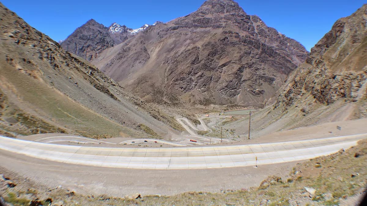
| Cristo Redentor Pass and other crossings to Argentina | Possible closures due to snow in the Andes | pasosfronterizos.gob.cl |
| National parks in central and southern Chile | Preventive closures during weather fronts | Conaf website and social media |
| Ski resorts | Fresh snow at altitude, but rain lower down with a high freezing level | Each resort's report |
In July this year, during other weather fronts, Conaf temporarily closed 22 parks and reserves between Atacama and Biobío, according to The Clinic, so it is worth confirming each protected area's status before heading out. For border crossings, our story on the Cristo Redentor Pass explains how to check its status in real time.
What a preventive early alert means
Senapred uses three alert levels. The current one is the lowest: it does not involve evacuations or closures, but services must prepare and monitor the situation. It can be raised if forecasts worsen.
| Level | What it means | What travelers should do |
|---|---|---|
| Preventive early alert | Monitoring and preparation for a possible threat | Stay informed and have a backup plan |
| Yellow alert | The threat grows and resources are mobilized | Avoid risk areas and follow instructions |
| Red alert | Ongoing or imminent threat; maximum response | Comply with closures and evacuations |
For skiers, the system may bring snow at altitude after the first pulse with a high freezing level. Valle Nevado, which extended its season into November, and the other resorts in central Chile will report in their daily updates whether lifts or roads close because of the storm.
Tips for traveling during the weather front
- Check warnings before leaving: the DMC publishes warnings and alerts at meteochile.gob.cl and Senapred at senapred.cl.
- Avoid the foothills on Tuesday 20 and early Wednesday 21, when the heaviest rain is expected.
- If you head into the mountains, carry chains and check whether they are required on roads to ski resorts and border crossings.
- Do not cross streams or ravines with water, even if they look shallow.
- During thunderstorms, take shelter and stay away from summits, isolated trees and metal structures.
- Expect possible power cuts: the government asked utilities to reinforce their crews.
If you planned a mountain trip, northern Chile is outside the worst of the event, although a preventive wind alert has been in place in Antofagasta since October 1. To see how the weather changes by region and season, see our guide to when to visit Chile.
Frequently asked questions
Which regions are on alert for the weather front?
Senapred issued a preventive early alert from Atacama to Los Lagos. The Santiago Metropolitan Region and Biobío also have thunderstorm warnings.
Which day will it rain the most?
According to the DMC, the heaviest rain is expected between Tuesday afternoon, October 20, and early Wednesday, October 21.
Will the Cristo Redentor Pass close?
No closure had been announced as of October 17, but snow is expected in the Andes. Check its status at pasosfronterizos.gob.cl before traveling.