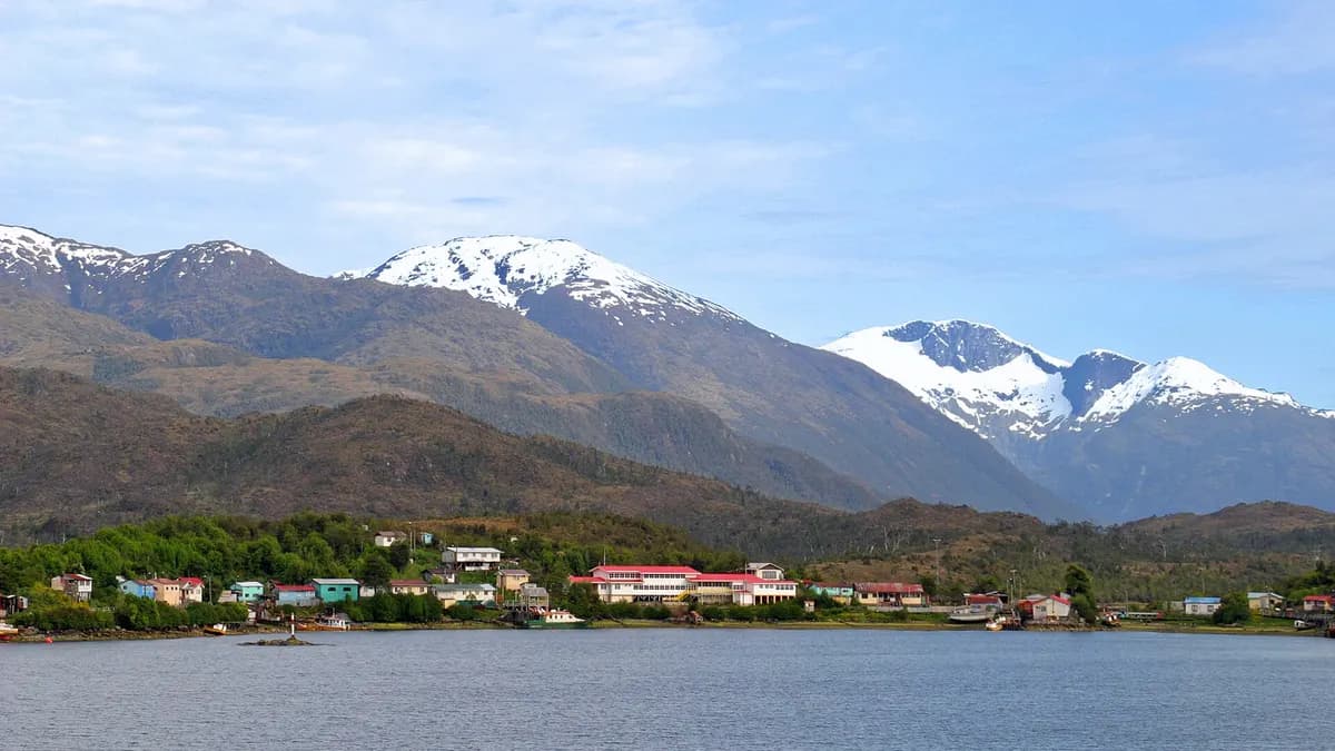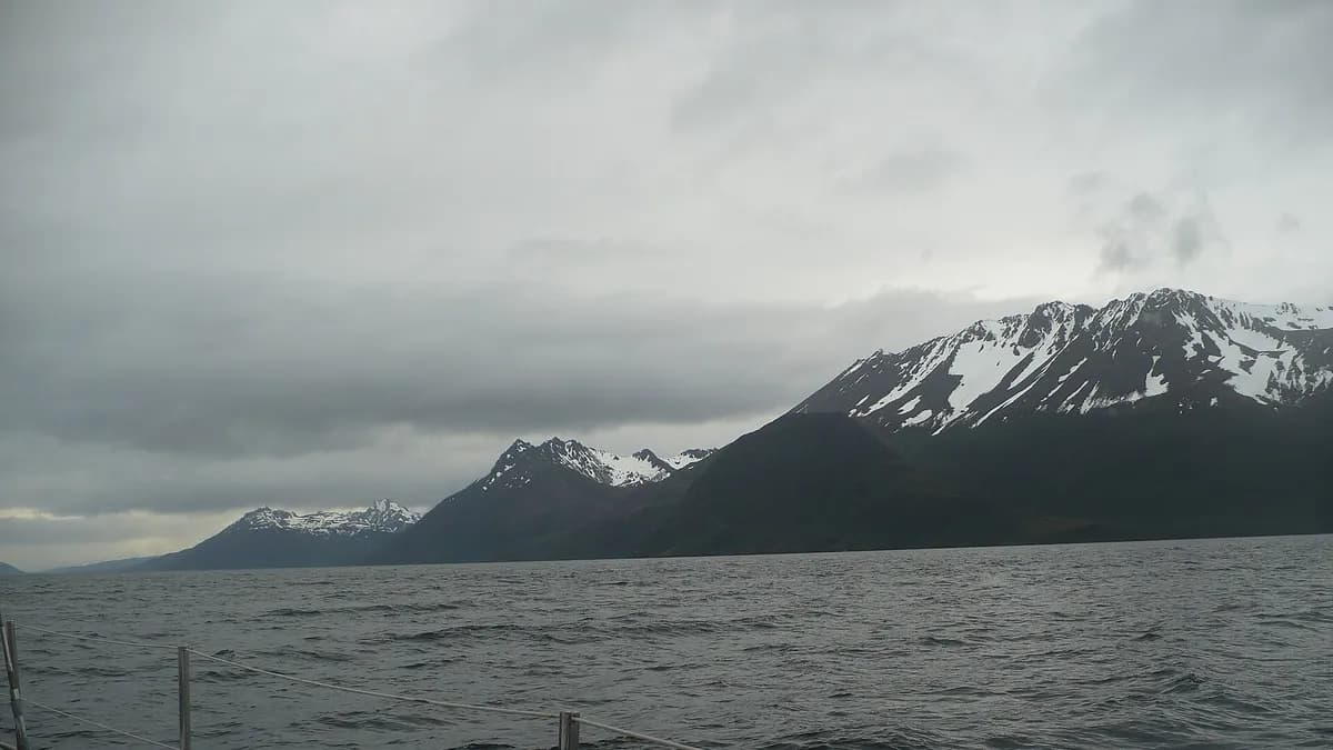
Cape Froward, the southernmost point of mainland America, in Chile's Magallanes Region, is one of 25 destinations National Geographic recommends visiting in 2027. The magazine published its annual Best of the World 2027 list on October 20, 2026, presenting it as a new, wild national park at the southernmost tip of South America.
The park does not legally exist yet. On the same Tuesday, October 20, Chile's Ministry of the Environment published in the Official Gazette the resolution that opens the indigenous consultation to create Cabo Froward National Park, with an enlarged area of about 183,045 hectares.
What National Geographic says about Cape Froward
The list brings together 25 places on six continents, plus one destination chosen by readers. Some media reported a "second place", but the list is not a ranking: each destination is there for a different reason. For Cape Froward, the magazine notes that it will become park number 19 on Patagonia's Route of Parks (regional press says number 18) and mentions three experiences: a hike of about 39 kilometres (24 miles) from Punta Árbol, a visit to the San Isidro lighthouse and the climb of Mount Tarn.
| Latin American destination | Country | Why it is on the list |
|---|---|---|
| Cape Froward | Chile | Wild nature and adventure at the southern end of the continent |
| Salvador de Bahia | Brazil | Afro-Brazilian culture and festivals |
| Kuélap | Peru | Archaeology and waterfalls |
| Maya Ka'an | Mexico | Community-led nature tourism |
| Puerto Rico | United States (territory) | Culture and community traditions |
| Grenada | Caribbean | Wellness and carnival |
Source: National Geographic, Best of the World 2027, published October 20, 2026. The description summarises each destination's focus on the list.
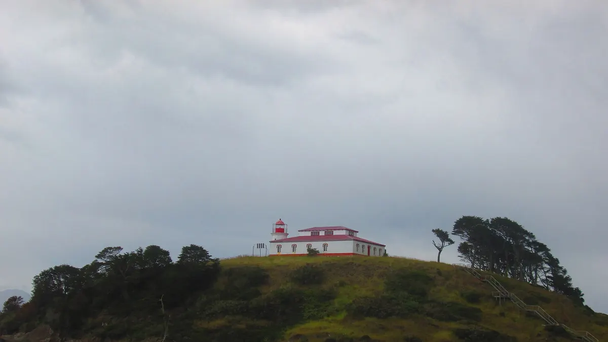
The future Cape Froward National Park
The project began with an agreement signed in March 2024 by the ministries of the Environment, National Assets and Agriculture, the forestry agency Conaf and the Rewilding Chile Foundation. The indigenous consultation was suspended in 2025 and the current government restarted it. According to the ministry, the proposal combines land donated by Rewilding Chile, the protected state properties Río Batchelor and Cabo Froward, a new property the foundation has committed to donate and other state land.
| Stage | Date | Details |
|---|---|---|
| Agreement to create the park | March 2024 | Ministries, Conaf and Rewilding Chile Foundation |
| Start of the indigenous consultation | October 20, 2026 | Resolution published in the Official Gazette, under ILO Convention 169 |
| First planning meeting | November 18, 2026 (tentative) | With indigenous communities |
| Expected end of the consultation | End of the first quarter of 2027 | Followed by the procedures to create the park |
Source: Ministry of the Environment, October 20, 2026. "Caring for nature also means taking responsibility for our country's future", said Minister Francisca Toledo. The area lies in the municipality of Punta Arenas.
The project has also drawn objections. During the previous consultation, Kawésqar representatives raised questions about how the park would be managed and the restrictions on use, and local business owners and salmon farmers voiced concern about their projects, according to the regional press.
Does your tourism business operate in Magallanes? Reach travellers planning their trip to Patagonia.
See advertising optionsHow to get to Cape Froward
- By road: from Punta Arenas, take Route 9 south to its end, at Punta Árbol, near the San Isidro lighthouse.
- On foot: from there the multi-day coastal trek to the cape and the Cruz de los Mares begins, with no services and river and beach crossings that depend on the tide.
- By sea: boat trips on the Strait of Magellan approach the cape; humpback whales can be seen in season.
- With a guide: the Rewilding Chile Foundation plan includes campsites, toilets, a shelter at the Cruz de los Mares and marked trails, but most of the area has no infrastructure today.
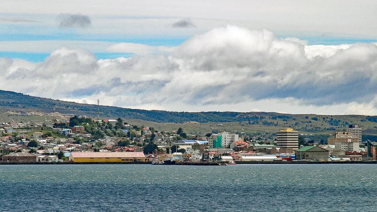
Key facts about the southern tip of the continent
| Fact | Details |
|---|---|
| Location | Municipality of Punta Arenas, Magallanes and Chilean Antarctica Region |
| Record | Southernmost point of mainland America |
| Proposed park area | About 183,045 hectares (Ministry of the Environment) |
| Route of Parks of Patagonia | Would be park number 19 (National Geographic) on a route of about 2,700 km |
| Access | Route 9 south of Punta Arenas to Punta Árbol, then on foot or by sea |
| Landmarks | Cruz de los Mares, San Isidro lighthouse and Mount Tarn |
Sources: Ministry of the Environment, National Geographic, Emol and La Prensa Austral, October 20-22, 2026.
When to visit the southern tip of the continent
The hiking season runs from November to March, with long days and milder temperatures, although wind and rain can come at any time. If you combine the trip with Torres del Paine, keep in mind the Puerto Natales airfield closures between January and March 2027 and the reopening of the O circuit. For the rest of the region, see our guide on what to see in Chilean Patagonia.
Frequently asked questions
Is Cape Froward already a national park?
No. The indigenous consultation to create it began on October 20, 2026 and is expected to end at the close of the first quarter of 2027.
What place does Cape Froward hold on National Geographic's list?
Best of the World 2027 is not a numbered ranking: it brings together 25 recommended destinations for the year, and Cape Froward is one of them.
What is there at Cape Froward?
It is the southernmost point of mainland America, with subantarctic forests, the Cruz de los Mares, the San Isidro lighthouse and views of the Strait of Magellan.