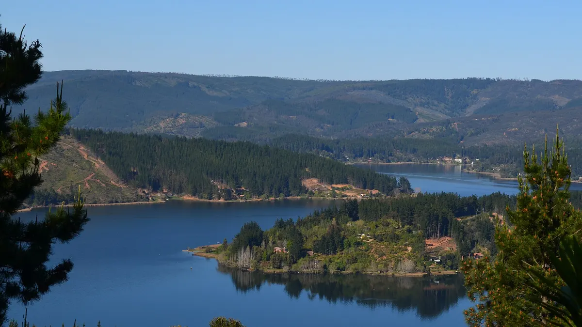
Lake Vichuquén is a 12.96 km² coastal lake in the municipality of Vichuquén, Curicó province, Maule Region, 268 km from Santiago by road (about 4 hours 11 minutes by car). It is 7.1 km long with a 36.3 km shoreline, according to Chile's water authority DGA (2018), cited by Wikipedia.
Around the lake there are holiday homes, jetties and water sports, and a few kilometres away are the colonial village of Vichuquén, Laguna Torca National Reserve and the Llico cove. It is an alternative to lakes closer to Santiago, such as Lake Rapel.
View the data as a table
| Lake surface | 12.96 km² |
| Maximum length | 7.1 km |
| Laguna Torca National Reserve | 604 ha |
| From Santiago | 268 km |
Things to do at Lake Vichuquén
| Activity | Where | Useful fact |
|---|---|---|
| Sailing, water skiing, kayaking | Lake Vichuquén | The lake's most common activities, according to Wikipedia |
| Sport fishing | Lake Vichuquén | Requires a recreational fishing licence from Sernapesca |
| Spot black-necked swans | Laguna Torca National Reserve | 11 km from the lake (19 min by car) |
| Stroll a colonial village | Vichuquén | Old town declared a Typical Zone in 1987 |
| Visit a museum | Vichuquén History Museum | Opened in 1991; archaeological pieces |
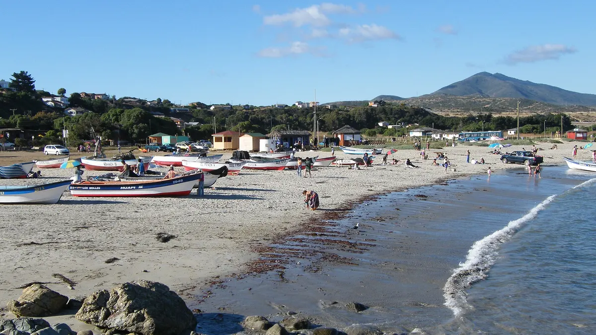
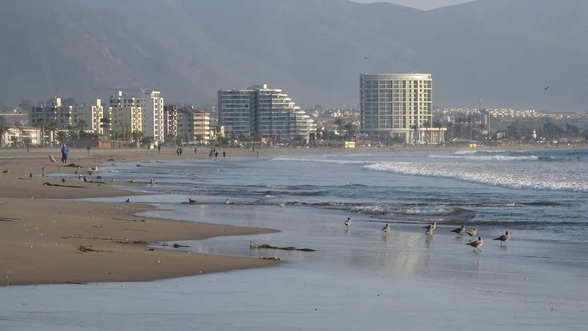
| Surf and a fishing cove | Llico | 11 km from the lake (20 min by car) |
Boating and swimming at Lake Vichuquén
The lake became a summer resort, with houses and jetties on its shores; sailing, water skiing and sport fishing are the most common activities. Before swimming, bear in mind that the DGA classifies the lake as eutrophic by transparency and hypereutrophic by total phosphorus, and that in 2025 El Mostrador reported blooms of the alga *Microcystis aeruginosa* linked to salt water entering from the Llico estuary. If the water looks green or foamy, don't swim and follow health authority notices.
The village of Vichuquén
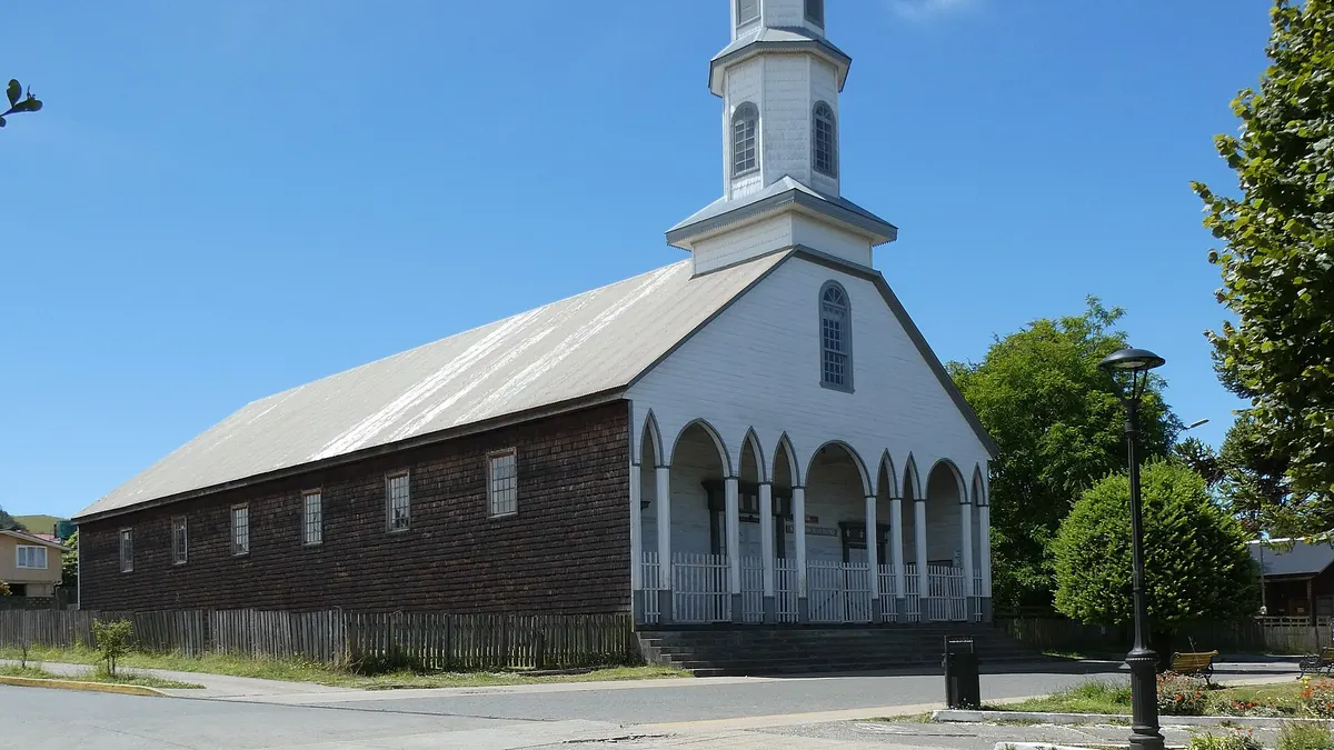
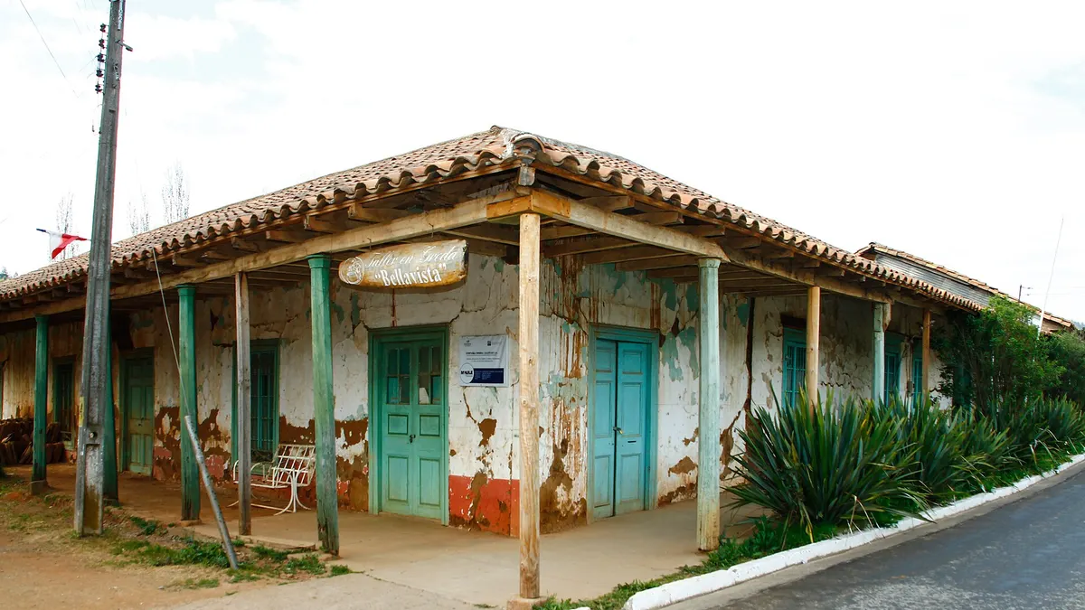
The village is about 14 km by road from the centre of the lake. Its old town, with adobe and tile houses, was declared a Typical Zone in 1987 for its colonial architecture. The Vichuquén History Museum opened in 1991 and holds archaeological pieces such as pottery and stone tools (Wikipedia). On Google Maps, the museum has 4.6 stars from 48 reviews.
- 1585Spanish settlers arrive by the Llico river and the Vichuquén and Torca lakes
- 1855First survey of the lake, considered as a naval base
- 1865The department of Vichuquén is created
- 1872Naval officer Francisco Vidal Gormaz explores the lake
- 1889The municipality is created
- 1975The Laguna Torca area is declared a forest reserve
- 1987Vichuquén's old town is declared a Typical Zone
- 1991The Vichuquén History Museum opens
Laguna Torca National Reserve, 11 km from Lake Vichuquén
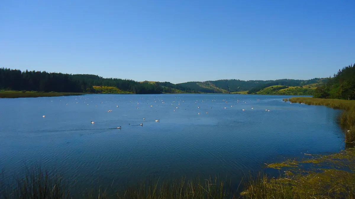
Laguna Torca National Reserve, run by CONAF, covers 604 hectares in three sectors: Bosque de Llico (416 ha), Laguna Torca (186 ha) and Isla Cerrillos (2 ha). Its flagship species is the black-necked swan (*Cygnus melancoryphus*), listed as vulnerable. It has an environmental information centre and accessible toilets at the campsite.
| Trail | Length | Duration | Difficulty |
|---|---|---|---|
| Árbol Gigante | 1.4 km | 45 min | Easy |
| Achupalla | 6 km | 2 h 30 min | Medium |
| La Duna | 10 km | 4 h | Demanding |
Source: CONAF. Fires, barbecues, pets, alcohol and unauthorised drones are banned in the reserve. CONAF does not publish hours or fees on that page: check Pases Parques before going.
How to get to Lake Vichuquén
From Santiago, drive south on Route 5 to Curicó and then head for the coast via Hualañé. CONAF says the route from Curicó to Laguna Torca National Reserve is 108 km, 70 km of it paved.
| From | Distance | Driving time |
|---|---|---|
| Santiago | 268 km | 4 h 11 min |
| Curicó | 115 km | 2 h 35 min |
| Talca | 117 km | 2 h 26 min |
| Concepción | 360 km | 5 h 22 min |
Source: route calculation with OSRM on OpenStreetMap, no traffic. On a coastal road trip, you can combine Vichuquén with Pichilemu, further north, and with the beaches of Iloca and Duao (27 km from the lake).
Lake Vichuquén weather and when to go
January and February are the warmest months, with average highs of about 20 °C and lows of 13 °C, and almost no rain. June is the wettest month, with about 154 mm. These are 2016-2025 averages from Open-Meteo, not from a local station. The best time is December to March; spring is quieter.
View the data as a table
| High | Low | |
|---|---|---|
| Jan | 20 °C | 13 °C |
| Feb | 21 °C | 13 °C |
| Mar | 20 °C | 12 °C |
| Apr | 17 °C | 10 °C |
| May | 15 °C | 8 °C |
| Jun | 13 °C | 7 °C |
| Jul | 13 °C | 6 °C |
| Aug | 14 °C | 6 °C |
| Sep | 15 °C | 7 °C |
| Oct | 16 °C | 8 °C |
| Nov | 18 °C | 11 °C |
| Dec | 19 °C | 12 °C |
Frequently asked questions
Where is Lake Vichuquén?
In the municipality of Vichuquén, Curicó province, Maule Region, near the coast and the Llico cove.
How long does it take to get to Lake Vichuquén from Santiago?
About 4 hours 11 minutes without traffic, 268 km via Route 5 South and Curicó.
Can you swim in Lake Vichuquén?
It is a resort and people swim, but the DGA classifies it as eutrophic and there were algal blooms in 2025. Check health notices and stay out of the water if it looks green.
What is at Laguna Torca?
A 604-hectare CONAF national reserve with black-necked swans, three trails and an environmental information centre.